54 miles (87 km) – Total so far: 1,050 miles (1,690 km)
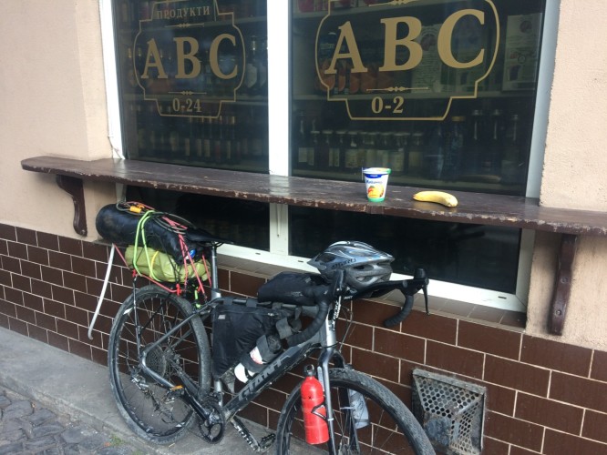
Breakfast yoghurt and banana.
It was a warm and humid night and difficult to sleep in Perechyn.
At only 130 metres asl positively subterranean, homesick for the hills ( don’t follow leaders ).
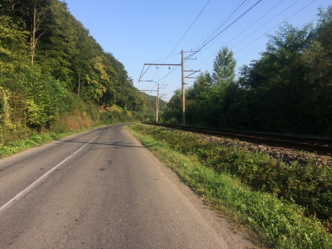
A main road for 15 kilometres or so out of town, but not that busy. Ukrainian drivers have always given me room when passing.
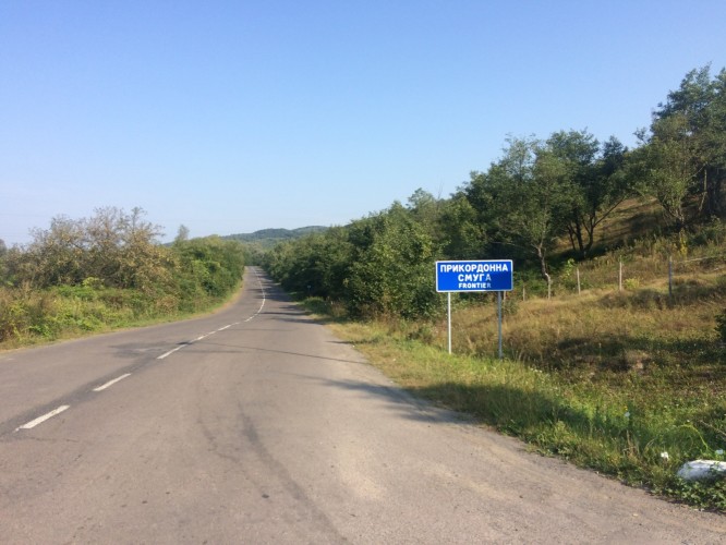
And rarely, a quiet smaller road to the border.
Successfully spent my last Hryvnia also on my pick of the country’s food, their sesame biscuits.
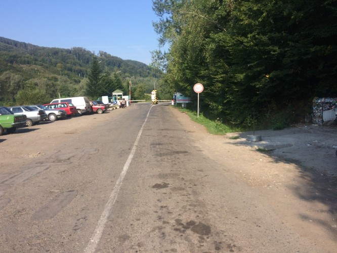
It’s a quiet border, but still there is cars queuing, and looking like they are going nowhere very quickly.
I went straight to the front, as ever, and a female official called me over, and I thought at first pointed me to the back of the line of cars. However, it was only to an unmanned booth in which she processed my passport and I was away in seconds.
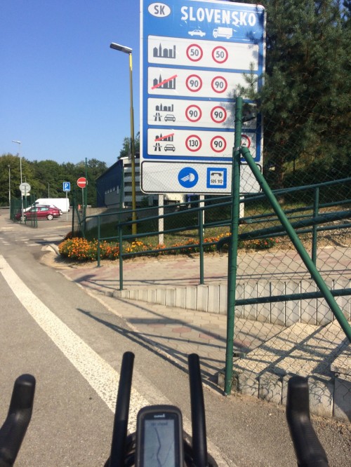
I had thought I would need to go through Slovakian formalities at some stage shortly, but it had all happened together, which I can’t recall happening very often at borders.
Then into a green and rural eastern Slovakia with gently undulating hills, good roads, and regularly marked bike paths. The difference is stark.
Water fill up and lunch stop at this farm.
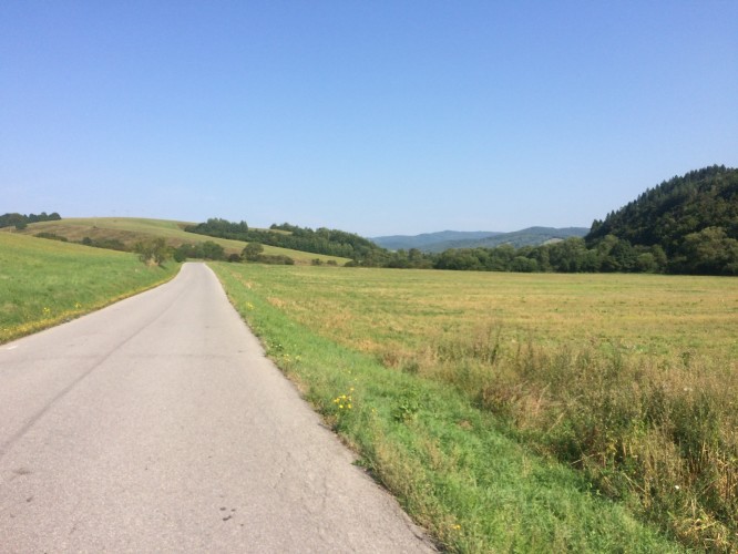
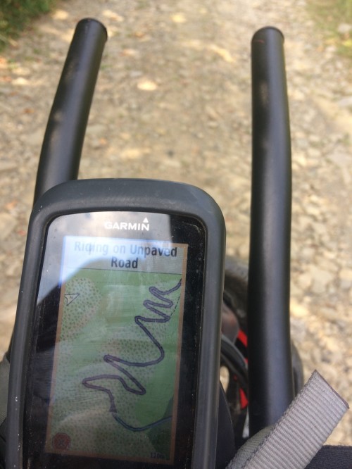
Just after the town of Stakčín my route turns north on what is pretty much only a road / track for bikes. The odd cars belong to the residents of the farms and summer houses, but this road climbs, and after it starts climbing seriously the track is stony and rough, and I saw the odd hiker, but no vehicles.
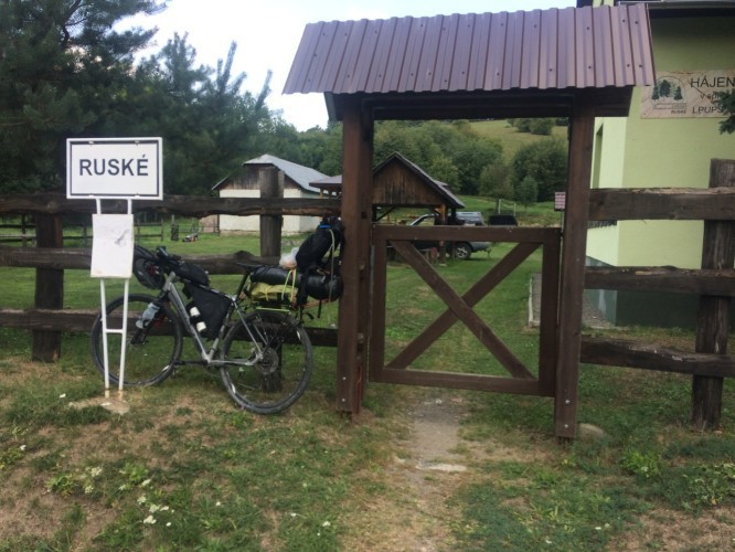
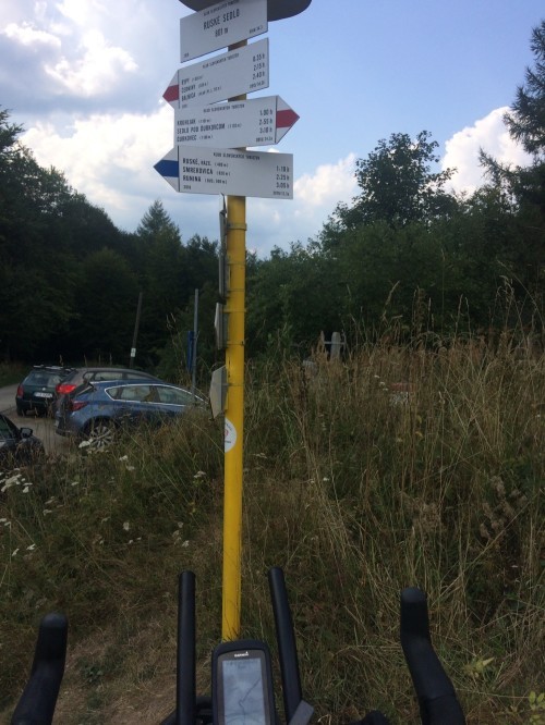
This isn’t the village of Ruske though, which is just below.
It was evacuated in 1980 as it was in the watershed area for the construction of the Starina Reservoir, which the bike path had just gone round. One building (this one) and the cemetery remain. This village is the Poloniny National Park.
Ruske was the scene of a WWII battle in 1944, as the Red Army moved southward across the pass. The Ruske pass contained a thoroughfare from Roztoki Gorne, Poland, over the ridge to Ruske. The Russians moved on this area on October 3rd. The village was taken on October 11. It was reported that the majority of the village was destroyed
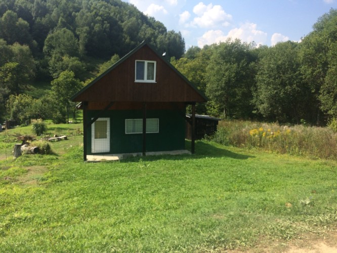
One of the summer houses on the road, before it gets steep.
It is therefore (referring to the previous picture) know as ‘The Russian Road’, and is a border crossing from May to September for hikers and cyclists.
Switchbacks aplenty..

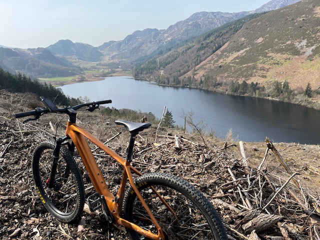
Looking back down on what is a really good cycling route.
At the Ruské pass at 801 metres.
Thunder crashing all around but no rain yet.
The other side of the pass has a sealed road, hence the cars, parked by hikers.
And Poland.. not even a sign.
In praise of soft borders, long may they remain across Europe.
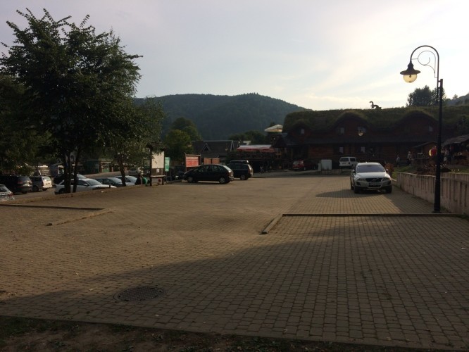
Cisna on the last weekend of the summer holidays. It’s not as busy as I thought it might be.
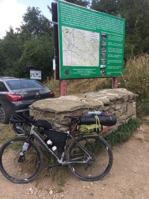
These are the western Bieszczady mountains, and after the pass, another National Park, the Bieszczady National Park.
My accommodation for the night, and it looks great. A bit of a step up from the usual Ukrainian price of 400 Hrvynia (£13 or so) to around £25.


Leave a comment