
Day 2 – to Faro de Estaca de Bares
I had chosen a good ‘aire’ to stay. It’s something the French do very well. Though busy with trucks there was no one else in the car area other than me. It was wooded, pretty clean, and separated from the highway by soundproofed fences, so much so the noise could barely be heard.
This driving lark is more tiring than these days, so after a bean soup, one I had prepared earlier as is said, and a start on season two of Industry, it was goodnight.
I was away before 8 this morning, but caught the rush hour through the busy corner of south-west France, Bayonne – Biarritz – Irun – San Sebastián, though it was without delay, other than at the toll booths. These ones are actually manned, unless you have a windscreen pass, which seems pretty slow and old-fashioned.
There aren’t many toll roads in Spain, but here there are, tit-for-tat with France could be the reason. In the 100 kilometre stretch there must be 5 gare de péages.
It’s a rainy few days now, with gentle drizzle punctuated by heavy showers. It’s too much for many of the Spanish, who wouldn’t consider outdoor activity in such conditions. For us from Cumbria, it’s a perfectly good February day..

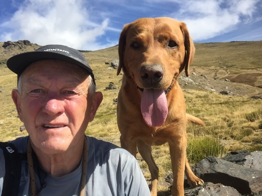
I left the autoroutes after just more than 1300 miles, about a hundred kilometres before A Coruña, and headed out to the Costa Artabra. Many of the towns rely on tourism, but now in the off-season seem fast asleep. Their beaches, though often windswept, look appealing, especially to Roja. We wandered out onto one of them at O Vicedo, at just after 4:30 pm, and got a break in the heavy showers by chance. I had considered spending the night here, but the car park was dirty, and the main road was very close, and I had an eye a few kilometres further north..

Instead we took the small roads up to Spain’s most northerly point, the Faro de Baros. Stuck out in the Atlantic, this is a windy place, but the views are wonderful, and I was completely alone. We got there just after 6, so enough light for a 40 minute trek to the north most point out on the cliffs. It made the three days, filled pretty much only with driving and sleeping, worthwhile.

It’s a very suitable starting point.
I’m including some maps this time round, in response to a few comments that say they don’t know where the hell I am.. Just click the link, and expand or reduce as you deem necessary. It’s a Czech mapping app, excellent to use in most countries, and free offline downloads for when out of 4G. A useful supplement to the Garmin, especially on short wanders.


Leave a comment