I had five days at Grebaje, in the Prokletoje National Park. It wasn’t at all busy, but I met the odd hiker, and just a couple of other campervans, Vincent from Belguim who I mentioned, and a Swiss family, who were living on the road, heading from Greece and Turkey for the winter, with an 8 and 4 year old.
On Monday morning, low on supplies, I left, and stocked up at the supermarket in Gusinje, where, a banner proclaimed, a round of the World Sky-running Championships had been held in July of this year.
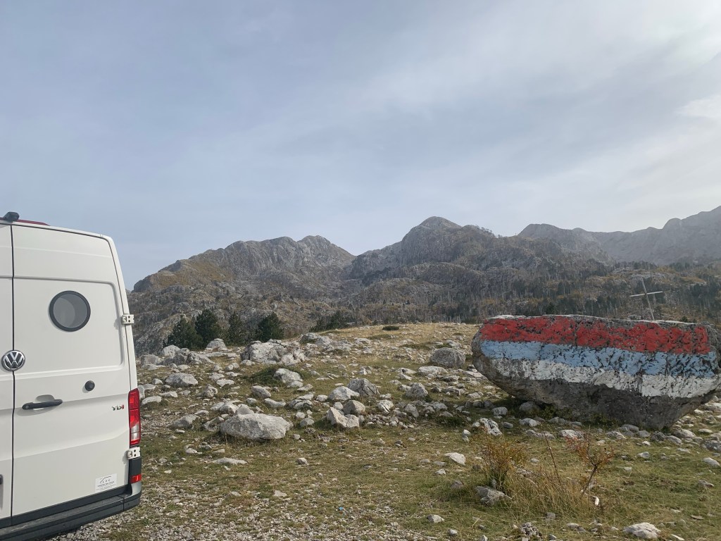
I retraced my tyre-tracks through Andrijevica and over the Komovi pass, in an anti-clockwise arc, so coming back into the Komovi mountains, and the Accurseds again, but this time from the southwest (I’ll post a map in the next day or so).
I stopped for the night at Veruša, which, thanks to a new section of motorway, is only an hour from the country’s capital, Podgorica. Due to that new fast access, this beautiful area of the foothills of the National Park is booming, with plenty of new developments. There are some holiday houses, but many new builds are family houses for commutes into the city.
I stayed at a new campsite, in an early stage of development, with a few cabins built, and a few under construction. There were three cyclists there also, an older couple from Switzerland travelling together, and a woman from Chicago. We sat around a fire chatting for an hour or two.

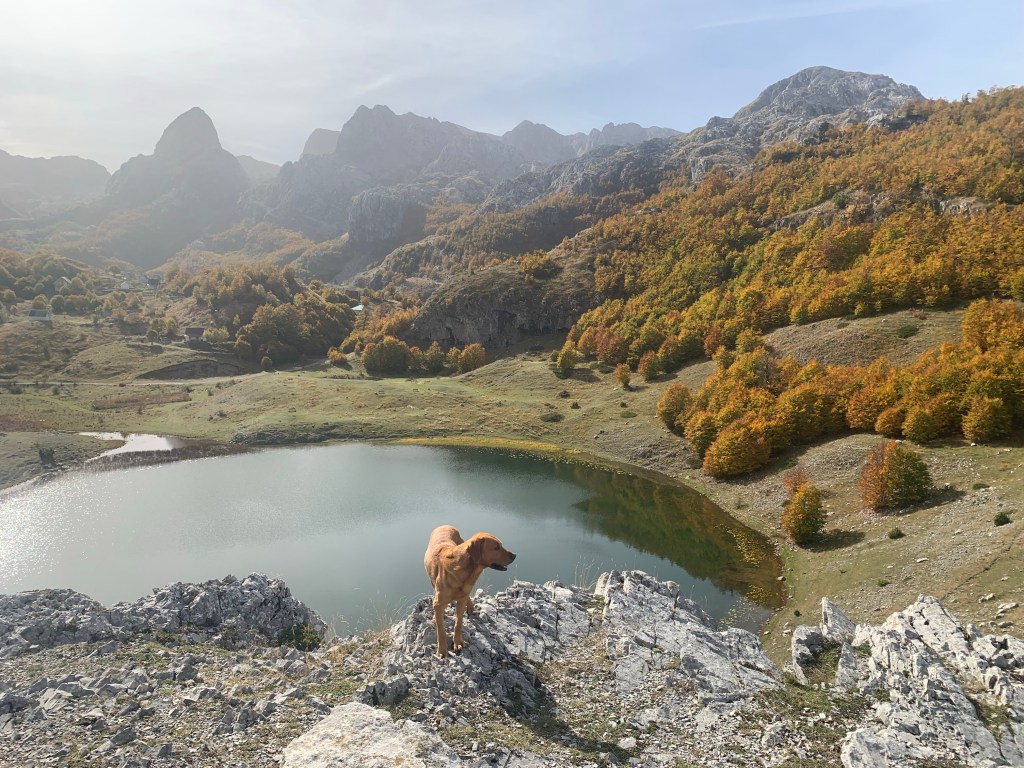
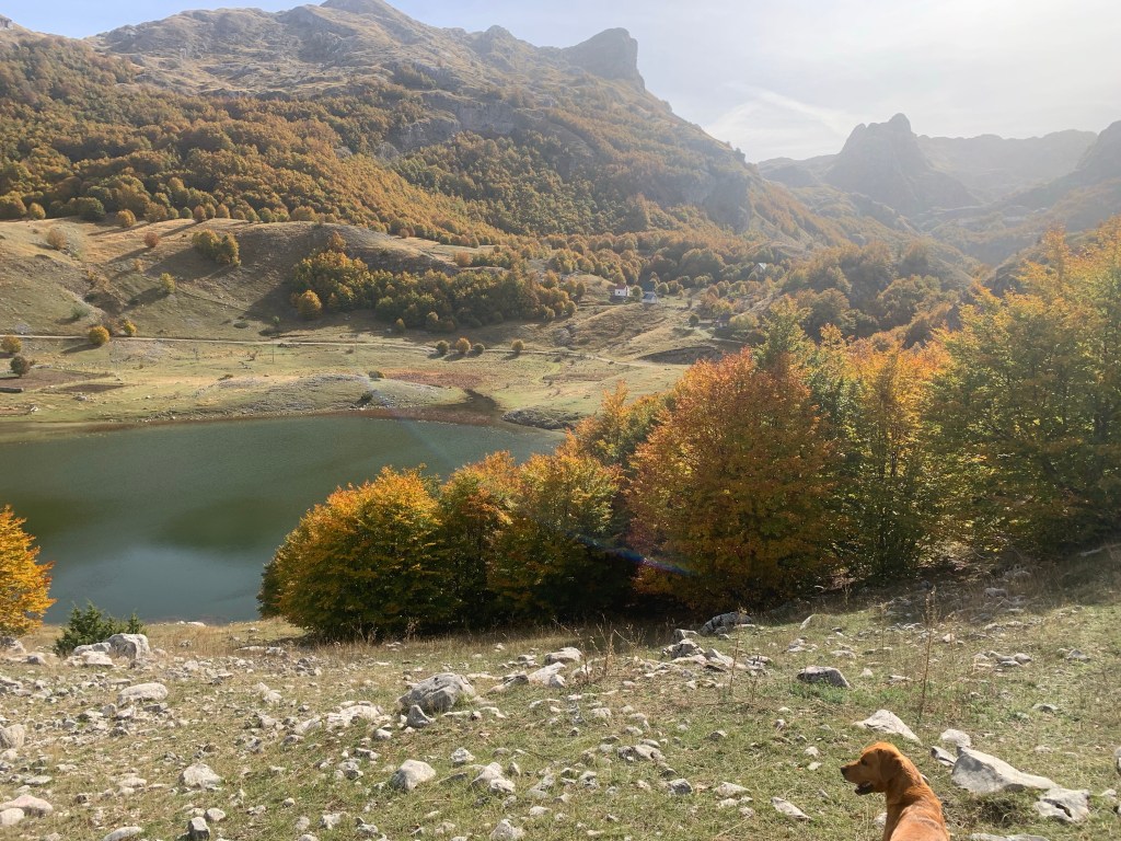
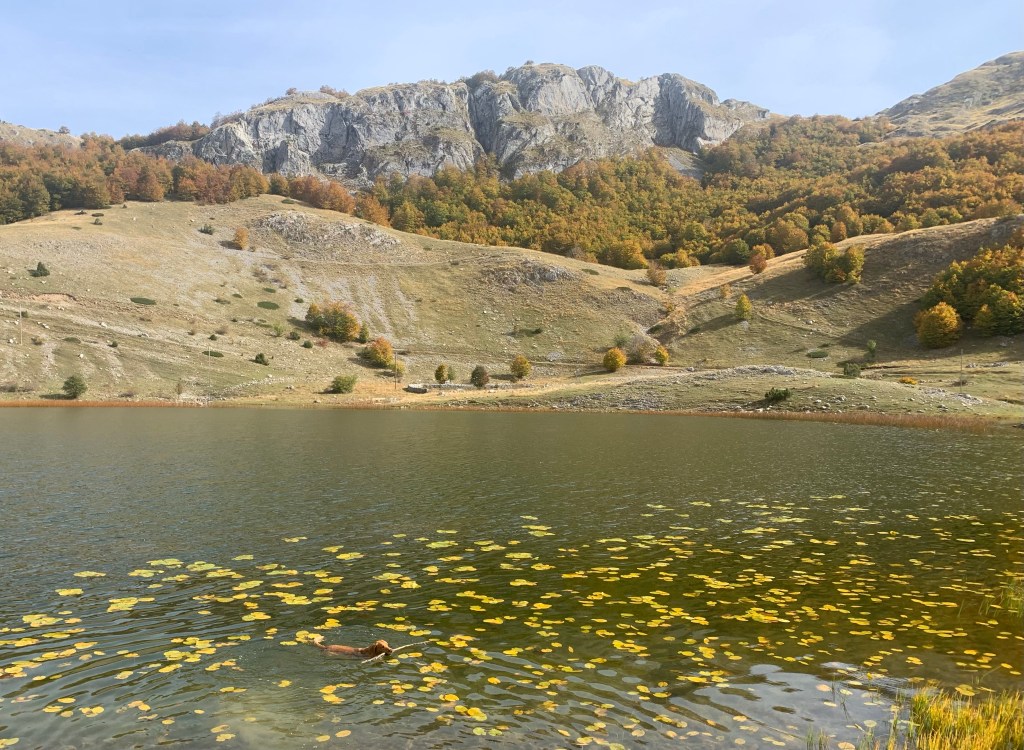
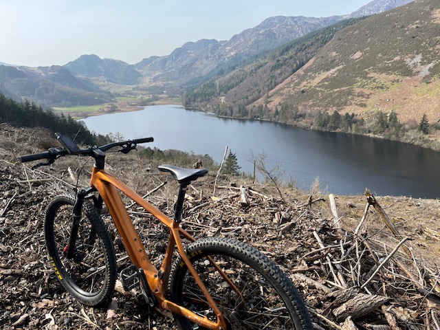
This morning I headed up, deeper into the National Park, to Bukomir Lake at 1450 metres, where Roja and I took a couple of hours for a circuit on foot.
From there, there is a narrow, winding and often steep road for 46 kilometres to the village of Kuč, just on the outskirts of the capital. In its first kilometre it heads up to 1850 metres and is prone to landslides, situated as it is, on the side of a steep slope. I had checked that it was asphalted, as otherwise I would have had no change in the van.
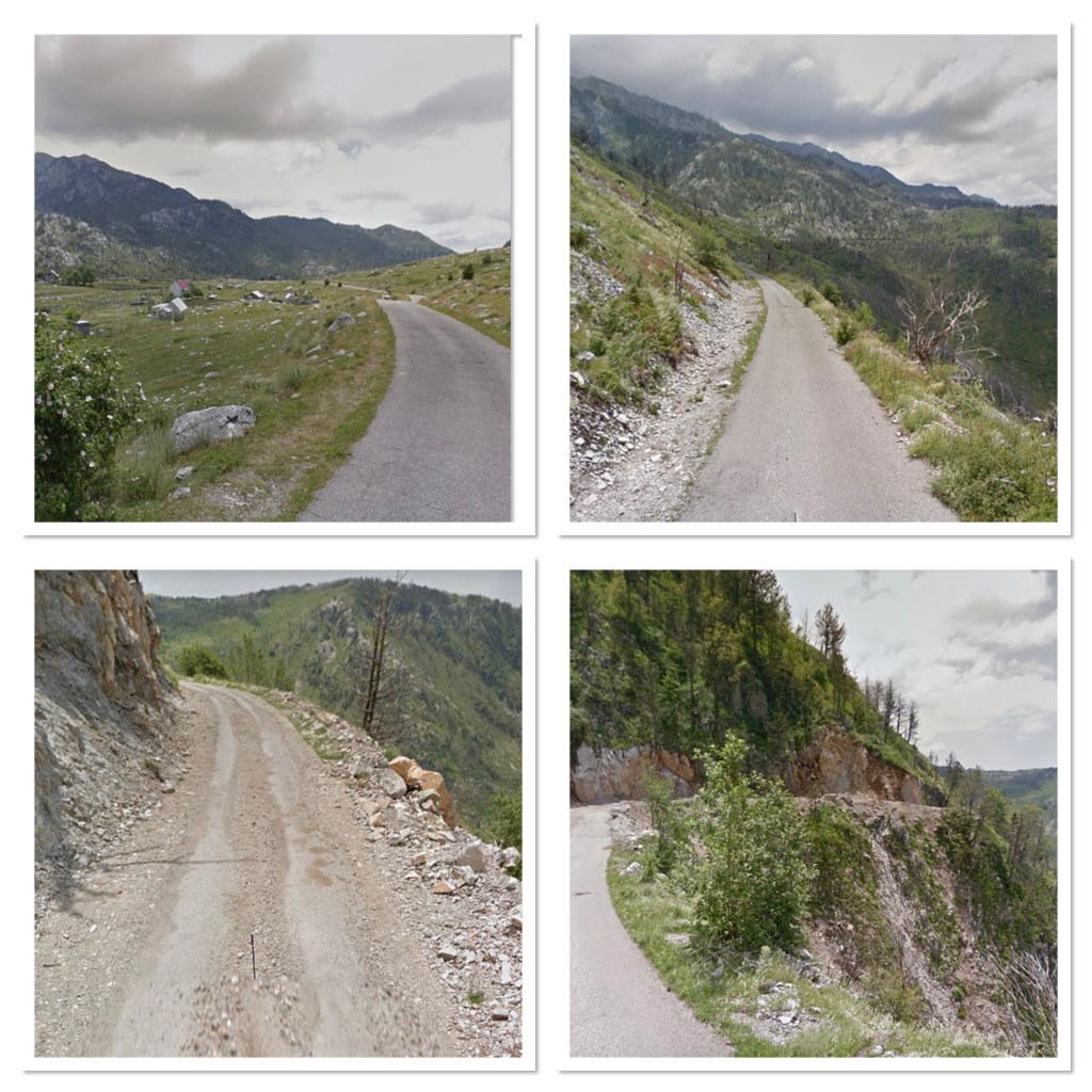
It is an incredible drive, and would make an even better bike ride. It will rank amongst the most spectacular roads I have driven, and I am surprised it is not better known. I saw no one else.

Access up to this part of Komovi National Park is all quite new. Twenty years ago there was no road, just a very rough track, access for shepherds to high pasture. Water for the city was the reason for the asphalt, and with came access for mountaineers, the formation of the National Park, and the infrastructure that brought, cafes, bars, holiday cabins and suchlike.
From Podgorica I headed south to the vast Skadar Lake, which forms a National Park, part shared with Albania, where it is known as Shkodër Lake. The most immediate difference is the climate. It had been -1C first light this morning, but here, almost at the coast, and almost at sea level, it is a humid 20C, with a range of just 3C all day and night. The next few days have big rain forecast, which the locals tell me will mean the end of this unseasonable weather.

I have found a small family run campsite at Virpazar, which has a busy tourist trade in the season, but now is dwindling to just a few. Boat trips and wine tasting are the main attractions. Montenegro has two thirds of Skadar Lake which is just under 50 kilometres long, and 15 kilometres wide. It has huge diversity of flora and fauna, and that means also 270 varieties of birds.

With this humidity my timing is slightly out, I need to get back to some altitude. It’s too early for me to come to the coast.

There’s a broad section of land I’m heading for, between the lake and the sea, on a small wild road that gets up again to above a thousand metres. The forecast rain is considerable though, so we will have to just see how it goes..


Leave a comment