Mani, the southernmost and middle peninsula of the Peloponnese or Morea, straddling the districts of Lakonia and Messenia in southern Greece, is a treasure trove of Byzantine architecture, Frankish castles and stunning scenery.
The isolated aspect of this beautiful area, combined with the independent nature of its people meant that some traditions developed separately from the rest of the Peloponnese and Greece so that a distinct society made its mark on the landscape. The architecture is renowned for the tower houses and fortified family dwellings from the period of the Ottoman occupation of Greece.

Enough of my amateurish descriptions. What brought me here was Patrick Leigh Fermor’s book, Mani as I was dragged to the Pindus by Roumeli, now far to the north. I have borrowed one of his most descriptive passages..
On the map the southern part of the Peloponnese looks like a misshapen tooth fresh torn from its gum with three peninsulas jutting southwards in jagged and carious roots. The central prong is formed by the Taygetus mountains, which from their northern foothills in the heart of the Morea to their storm-beaten southern point, Cape Matapan, are roughly a hundred miles long. About half their length – seventy five miles on their western and forty five on their eastern flank and measuring fifty miles across – projects tapering into the sea. This is the Mani.
As the Taygetus range towers to eight thousand feet at the centre , subsiding to north and south in chasm after chasm, these distances as the crow flies can with equanimity be trebled and quadrupled and sometimes, when reckoning overland, multiplied tenfold.
Just as the inland Taygetus divides the Messenian from the Laconian plain, its continuation, the sea-washed Mani, divides the Aegean from the Ionian, and its wild cape, the ancient Taenarus and the entrance to Hades, is the southernmost point of Greece.
Nothing but the bleak Mediterranean, sinking below to enormous depths, lies between this spike of rock and the African sands and from this point the huge wall of the Taygetus, whose highest peaks bar the bare and waterless inferno of rock.
The Taygetus rolls in peak after peak to its southernmost tip, a huge pale grey bulk with nothing to interrupt its monotony.
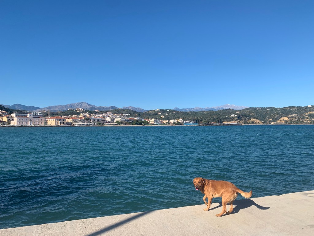
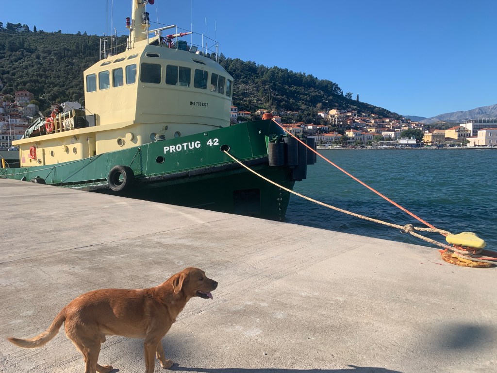
I arrived into the area yesterday, to Gytheio, a town on the north east, more sheltered coast. ‘Sheltered’ means from the sun, by the mountains, rather than from the other elements, the rain and wind. From yesterday afternoon it rained heavily, as it tends to at this time of year, with thunder and lightning. That gave way this morning to a clear sky, but with a strong, 30 kilometre per hour, wind from the north. Though the temperature hovers between 12 and 20C.
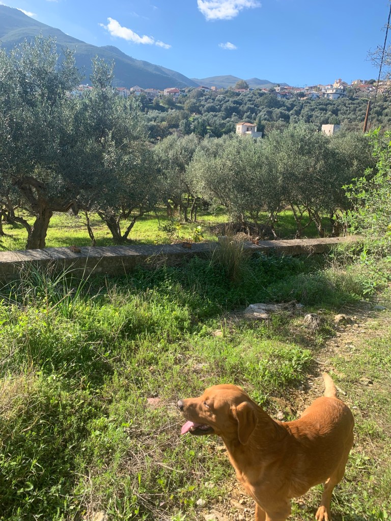
Today I drove down to Skoumari village, classic in its Mani style, with stone houses built as towers, some old, but most quite new, as that fashion of building is very attractive to tourists. There are few visitors here at this time of year of course, though Sunday does have plenty of day-trippers, out for a fish lunch, keeping those restaurants that are open in business.


More on Mani over the next couple of weeks..


Leave a comment