24 hours of sun takes a bit of getting used to. I’m not having any problem sleeping, but it can mean that by 6 am the sun is much higher in the sky than one might think. This results in mornings like this one, when that is the warmest time of the day, this morning, 24C at 6 am. Cloud was to come in later in the morning, and a wind to make it feel much cooler, but the van had warmed up during the early morning, and it was necessary to open windows and the door to stay cool much earlier than I usually would have risen.
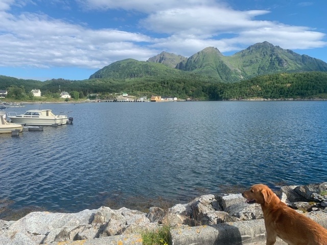
Yesterday after breakfast I joined the ferry queue at Skutvik, which already had 50 vehicles in it, most of them motorhomes and cars with caravans. It’s a free crossing to Lofoten and I think people like free things. Having got the car in the line, I took Roja out for an hour on a cloudless morning, and used the local grocery store on the harbour. The ferry didn’t depart until 11:45, and took just over two hours to get to Svolvær. Even since I was last on the Lofoten Islands, in 2016, it has noticeably changed, with much more tourist infrastructure, hotels, apartments, motorhome facilities. There are some small sandy beaches, and they were really busy with families doing beach type activities, which surprised me when it is so easy to access sandy beaches and have them entirely to yourselves, just not in Lofoten.
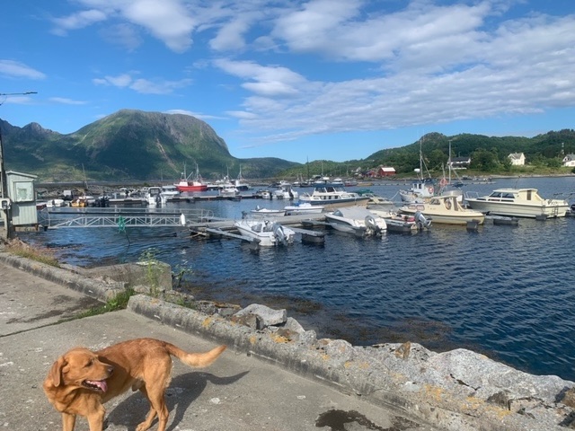
I drove north immediately, 30 kilometers in half an hour to Fiskebøl and took the half hour ferry to Melbu on the island of Hadseløya, not quite the Vesterålen Islands, in fact surprisingly flat compared to its neighbours either side. I then continued an hour or so vaguely northwest, though that entailed going round a fjord, as often in Norway, to the island of Langøya, which is one of the Vesterålen islands, the west most. The amount of traffic dropped significantly. There was the odd motorhome and campervan but nothing like the Lofoten coast. I was aiming for a group of mountains in the south of the island, just south of the town of Straume, and found a hiking car park for the night at about 6 pm.
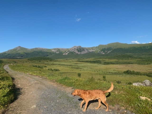
Having been confined to the van for a long time on a sunny day, Roja and I we t out for 90 minutes or so, walking in towards the mountains I was keen on, and in particular, a fine ridge, one that screams at you to get onto it. I saw the paths on my Hvor map, but often there are more than is marked. I spoke to a local lady out for some evening exercise and she told me the best possibilities for the following morning, of which, I chose the northmost, which meant moving the van a few kilometres this morning.
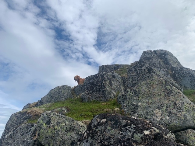
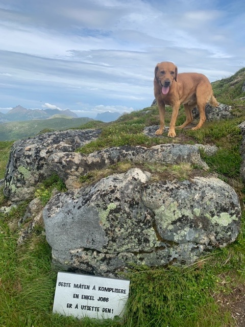
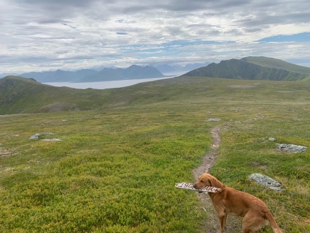
From the village of Føre we walked maybe three kilometres before there was any significant incline, and then the path ascends quite steeply for about 500 metres to the summit of Lynghaugtinden.
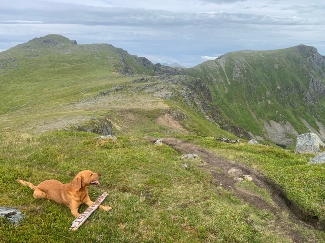

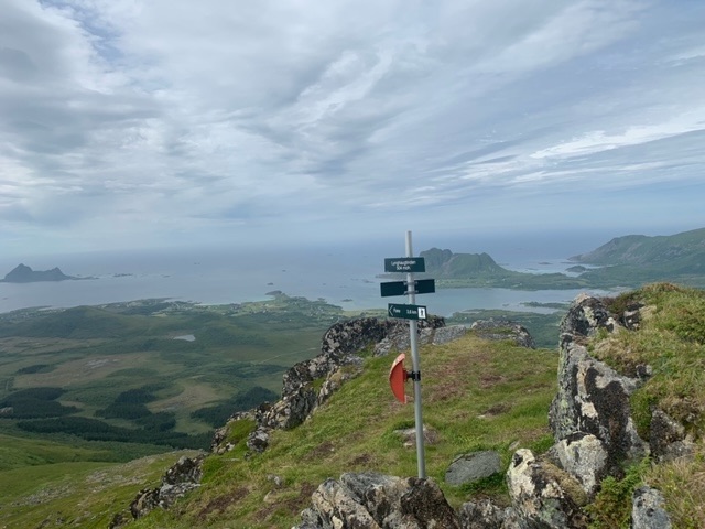
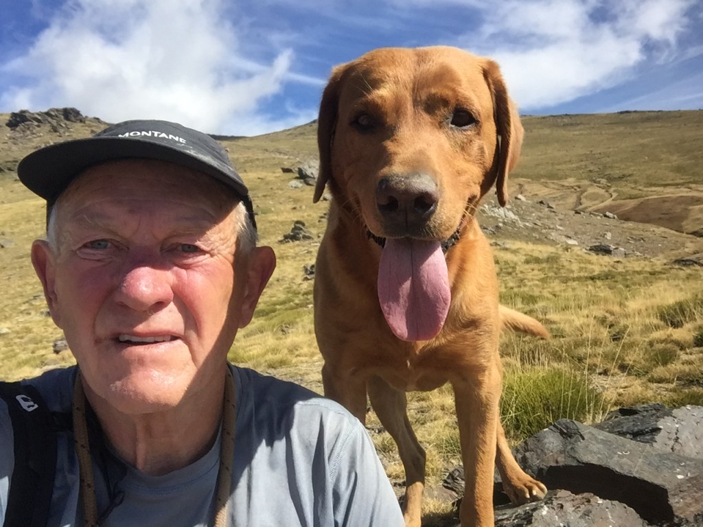
The actual summit is very airy, but we were lucky, the weather was fine, cloud gathering, but still sun, and the wind temporarily dropped to allow me to be comfortable enough to make a short documentary..
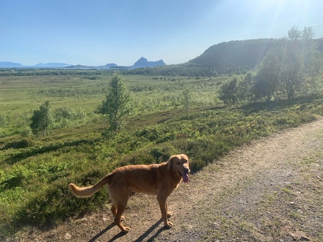
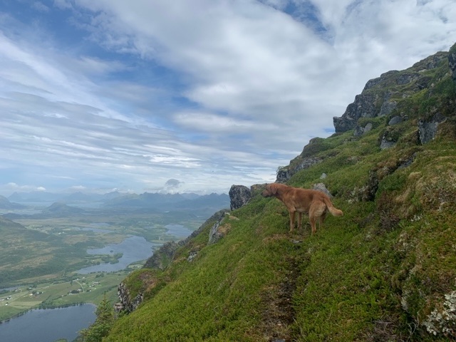
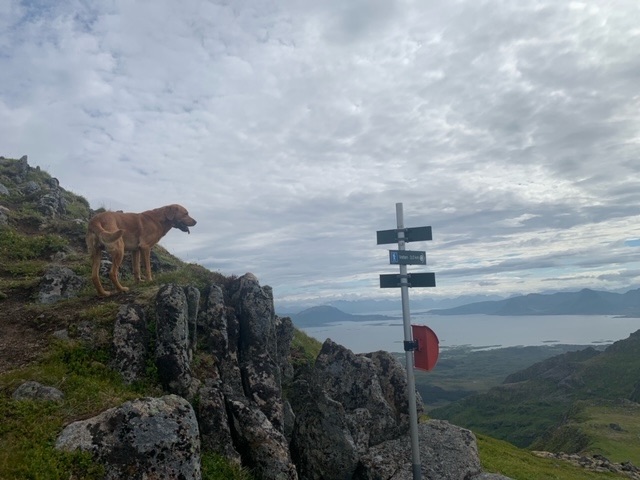
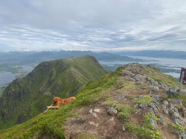
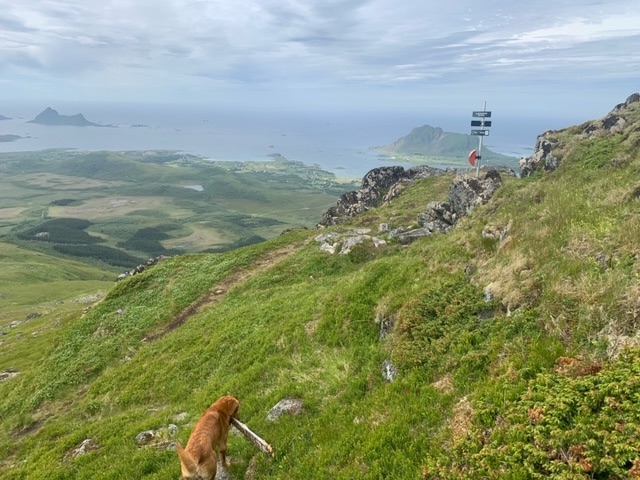
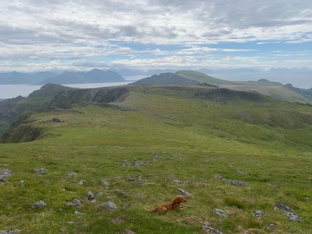
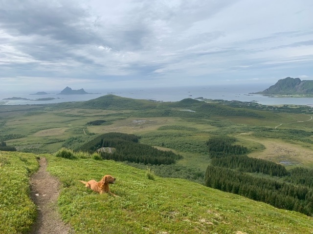
We then descended to the ridge itself, and took in just more than half of it, about three kilometres, before doubling back in different track to join the path we had ascended on lower down. Views over Lofoten to the south and 180 degrees of the Vesterålen islands were amazing.
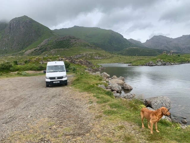
At the van I drove twenty kilometres to one of the two peninsulas at the north of Langøya and parked up just out of the village of Nykvåg, just as some light rain arrived.
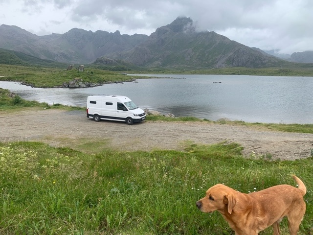
We are just off the road at Ravatnet lake, but sufficiently off to get no traffic noise, and took an hour out around the lake just before the rain got heavier.


Leave a comment