64 miles (103 km) – Total so far: 931 miles (1,498 km)
Distance 64 miles (102 km) Time riding 4 hours 50 mins Max speed 37.6 mph Average speed 13.2 mph Altitude 4 m asl Left at 7:10 am Arrived at 1:05 pm

I really didn’t see much of Eugene other than its seedy side. The west of the city is trailer homes, dodgy bars and strip clubs, and people holding up ‘out of work, out of luck’ written on pieces of cardboard. Another good reason to get away early though, and after a quick supermarket breakfast it was highway 126 for about 60 miles.
I didn’t have high expectations, but this was a great ride. After about 10 miles the traffic is much less and the road passes through some very English farmland before heading uphill and winding through forest. The uphill sections of course are not the Cascades, so very manageable, and a fast ride despite being into the wind after Mapleton when the road gets to sea level in effect.
Florence itself isn’t on the coast quite, it’s on the Siuslaw river estuary. That’s the river the road was following since Mapleton. Having been on the ‘Sierra Cascades’ Adventure Cycling Route from Ellensburg until Bend, I am now on the very popular ‘Pacific Coast’ route. It’s easy to see why people head north to south, certainly on the section to San Francisco. The route runs from Seattle to San Diego. I remember from school geography that San Francisco has a cool and wet climate, prevailing winds coming from north west. Any further south and it’s very warm, usually. Today is an extreme example of that, with a 20 mph northerly blowing,
The other thing that strikes me having lived in Chile during the time of the big earthquake, and it’s very many follow ups over the next year, is the threat on tsunami. The area is on a big quake alert. The last time San Francisco area had a big quake was 1989, they are expected roughly every 25 years. It hardly helps that there’s a new film about the devastation caused by one (San Andreas). As opposed to Haiti, Japan and Boxing Day 2004 in the Indian Ocean, remarkably few people were killed in Chile. It was the 4th biggest of all time. And it wasn’t so much the quake that killed, or the first tsunami, but the second. People had retreated to high ground and watched the first, then returned to their houses before the second. I had a friend who was an insurance adjuster. He showed me a picture of a fine yacht that he needed to salvage. It had no damage, but was 25 miles inland and away from its mooring. In the richer areas of the north of Chile the beaches all have clear escape routes shown. Perhaps now many in the south do also. I will watch for them as I head south tomorrow here.
So it’s Pacific coast, a few days in Oregon and then California. Time for some west coast music (Eagles, Steely Dan and more) and some big trees. Certainly it’s a lot cooler. The wind is giving the tent a shift around, but this 2 season Zephyros 2 survived during a wild March storm on Barra. Mind, it wasn’t a peaceful night inside.
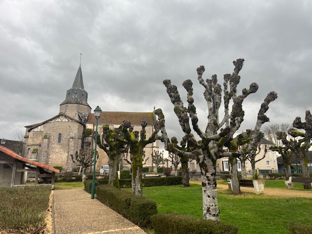
Port of Suislaw is an upmarket tourist type seaside resort away from the sea, with restaurants and souvenir shops. There’s a few people around , but by no means busy. I settled into a bar for a local beer and Yankees baseball.
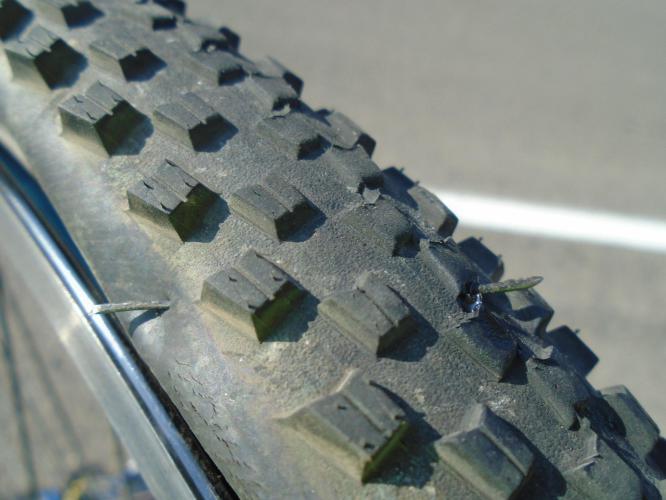
Oh my word. How did that get there?
At least no time wasted seeing what caused it.
Strangely therapeutic repairing punctures.
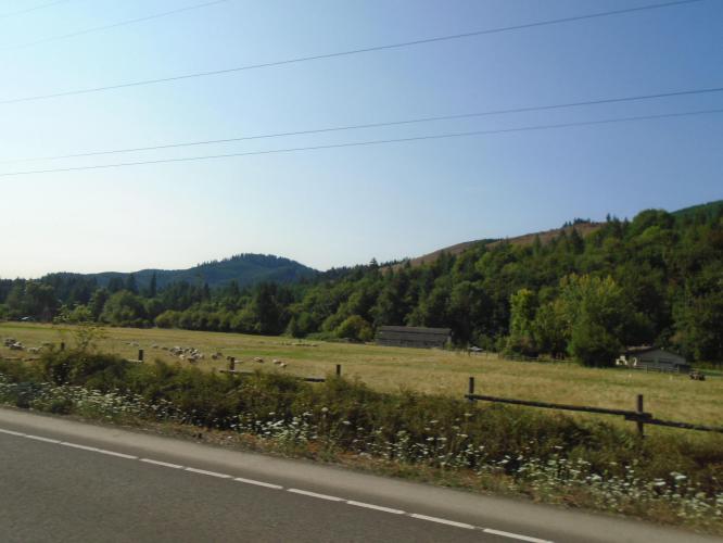
Scenery after leaving Eugene area – could be Cumbria
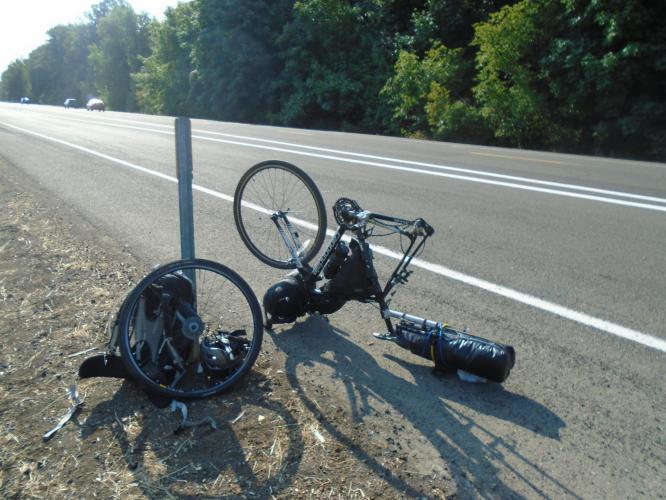
The heights of the Cougar Pass
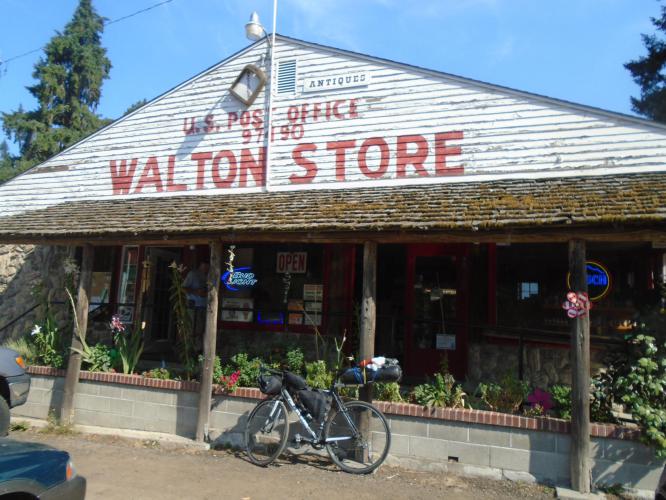
One of the very best drink stops of the tour so far.
60s and 70s records decorate the walls – huge welcome – a great place
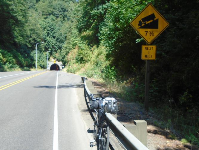
As with most before, there is a button to press when you enter the tunnel which sets the flashing lights off
Hard work from the other direction though, up a 7% hill through it
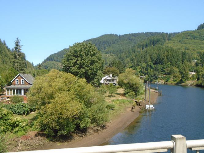
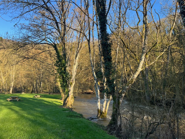
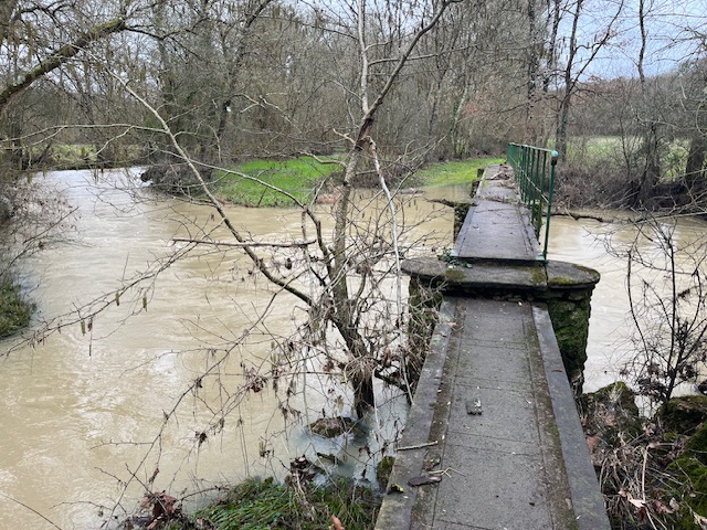
River Suislaw at Mapleton
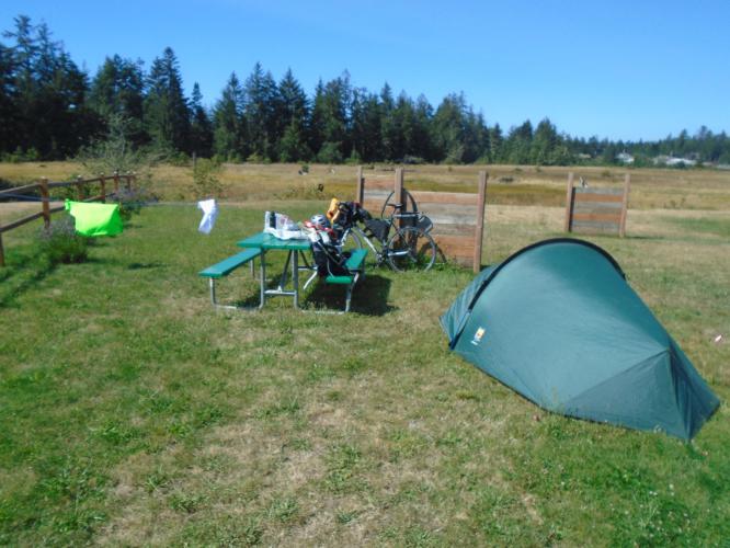
Camp at Port of Suislaw, $8 hiker biker site
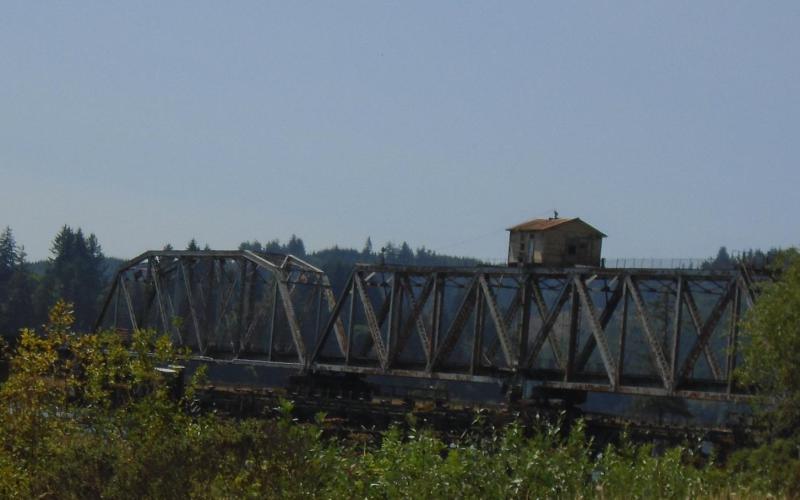
Little house on a bridge
Think it’s probably a holiday cottage


Leave a comment