
Day 87 – to Hemsedal Golf Club
The Lærdal gorge hasn’t had any sun for almost a month now, and it won’t until May. I remember one house I had, in Frankton on the outskirts of Queenstown in New Zealand was similar. Once the snow and ice comes that lingers also, especially without any warmth from the sun.
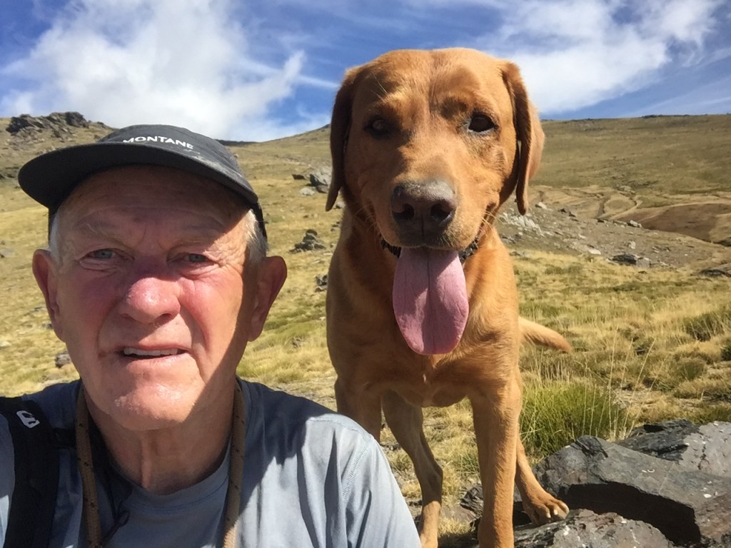
I met two locals during my ambling today, both of whom live slightly out of the gorge. One was a an old guy, who has lived here for all of his 79 years, and did the ascent that I was on three times each week, whatever the weather. He was particularly taken with Roja, and vice versa. As we spoke, we were next to an information sign for German gun emplacements from 1940-43, the year he was born. I’ve come across this in Norway before, that his generation are particularly grateful to the British who played a major role in the liberation of the fjord coast. Though Norway was invaded in 1940 and then occupied until the end of the war, the Nazis had retreated from much of the fjord coast by 1943.
The other person I met was the local farmer, just out for her walk. She told me her son did all the work these days, centred around sheep, and management of the salmon fishing on the river, which is their most lucrative income stream. She had a labrador also, but not with her, and could not get over how calm and friendly Roja was.


I was on another two of the ancient roads of the area today, both extensions of yesterdays, which now combine to be the 100 kilometre King’s Road, the new long distance path I mentioned a few days ago.
The first ‘road’ was an old post road. They are always attractive to me, and brought memories of the one I had been on a couple of months ago in Finland, the Arctic Post Road, and the wonderful one on the east coast of the Isle of Harris.
Here, in 1793, the road was constructed on rock shelves, secured by posts and wooden railings as there is a a hundred metre drop off though…


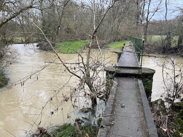
In 1840 a 15 metre high wall was constructed to support the path, following several disasters. Photo below.. Considering it’s age, it is respected as a huge feat of engineering. Not surprisingly, when word spread of its opening, many people came to travel on it. Legend speaks of a woman called Torborg who set up a sort of coffee and brandy stand to sell to travellers. She is said to have done very well from it, storing her money in a stocking under a pile of stones. Since her death though, it has never been found. On midsummer’s night the stones are said to glow with a gentle blue flame.

No doubt in the height of the summer season these roads are well trodden, but today, despite the cool temperatures (not above 2C), I met only those two locals, and the hike was at its finest, with its autumn colours higher up the hills a feature, as the many waterfalls cascaded into the river far below.


My return was in the old road on the opposite side of the river, the Olavssklemma. This was the older road, named after King Olav, who supposedly traversed it in the year 995. This is steep and narrow in places, and particularly susceptible to the conditions, treacherous in ice, and when after prolonged rain.

Back at the van it was time to move on. From just 250 meters above sea level, we took the route 52 east towards Hemsedal. The road climbs to 1200 metres. With clear skies up here it was cold, 7 below zero. My plan was to get over the pass, while the fine weather was here, then settle a little lower. The area around Hemsedal, 700 metres asl, has many tourists in the summer, and when the snow is here, but right now it is a good time to visit, with hardly anyone around. The clear day has given way to an icy night.


Leave a comment