Day 10 – to Ponte Madeira
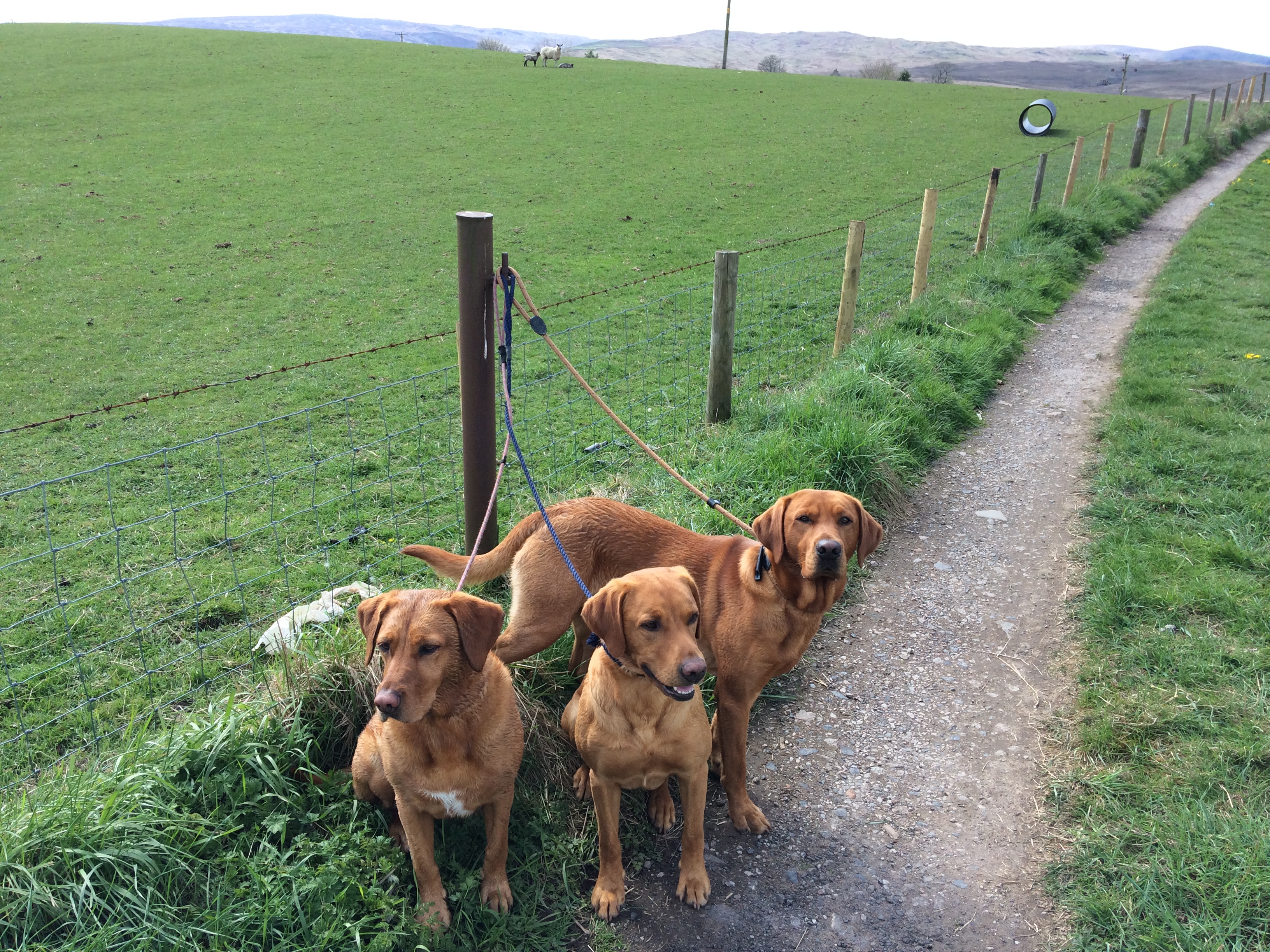
For two days at Moreira bay I have seen practically nobody. No other vehicle came down to the sea. I did see a farmer, a hundred metres or so away, moving some sheep, but that was it.
It will rank in my top ten stopovers, whenever I get round to compiling that chart.

The wind dropped considerably today, swings and roundabouts, as the more pleasant conditions outside, meant the seas were a lot calmer today, and less entertaining.
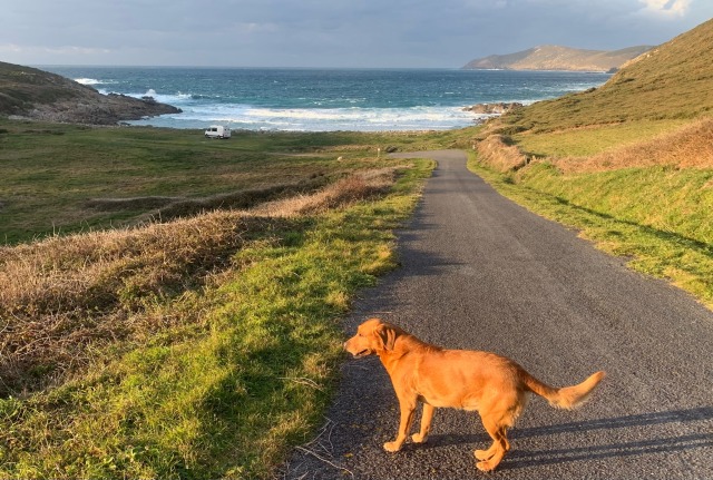
It was my last day on the coast and I had two visits planned. The first to Rostro Beach, about 2 miles long. Once again, nobody else was there.


Near the coast wind turbines are very common. Spain is second only to Germany in power obtained from such turbines. There are 1,265 wind farms. It intends to have 75% of its power from renewables by 2030.
What happens when your dog drinks tadpoles? Do they come out the other end as frogs? Stay tuned..
My last port of call on the Costa da Morte was its southern terminus, the lighthouse and Cape Fisterra. You may recall me mentioning this when I was at the lighthouse at Estaca de Bares 8 days ago. The two lights were the original ones of the coast here, built to a similar design in 1856.

This is a fairly major tourist destination, and was actually quite busy today. Cape Finisterre in English, Cape Fisterra in Spanish, was believed in Roman times to be the end of the world.
It’s fame though these days, is that it is the end of the Camino de Santogo, the Way of St James. A few intrepid hikers were finishing, having carried everything with them the whole way. I chatted briefly with a Japanese couple. Apparently some accommodation was open, but by no means all. The tour companies, which arrange everything, including luggage transport, will not start operating until mid-March.
The town is a bustling tourist venue, with plenty of new hotels and restaurants, and was busy, though not a patch on what it will be in a couple of months. The road to the lighthouse from town was closed for tree-felling, but I had planned to hike over the hill anyway, making it into a circuit.


The best part was high up at 250 metres, looking towards the lighthouse and the ocean. There were six school buses there, and a charge to get close to the lighthouse, which I skirted. I think the view I had from above was vastly superior.

I met a German couple with a yellow labrador who told me they had parked their blue self-built camper next to mine. They had been on the road for 3 weeks, and were just on their way home, having travelled the Spanish coast clockwise from Barcelona.
I didn’t want to tell them that they had missed the best bit, the next 200 km to the north..
These old stone elevated buildings are very common. They are called ‘esteos’ in Galicia, though more widely in Spain known as ‘hórreos’.


They are granary stores, elevated to keep rodents out.
Then it was farewell to the Atlantic, and onwards inland. I’m due at Volkswagen in Santiago de Compostela tomorrow morning, and wanted to stay reasonably close.
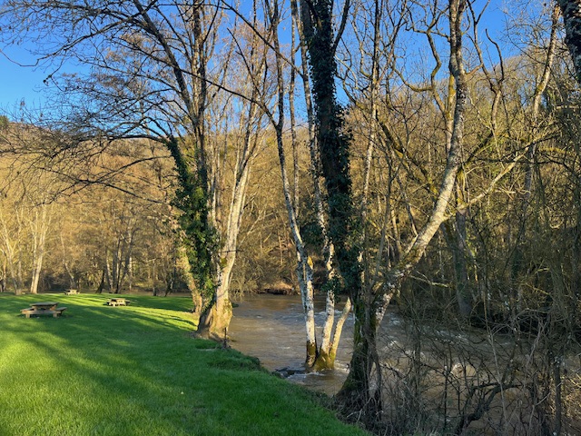
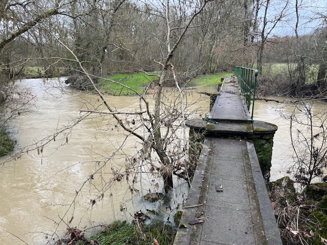
I drove inland through great country parallel to the Camino de Santiago, and on my way somewhere else, stumbled on the Ponte Madeira.
The old bridge was built in the 13th century, and rebuilt, or improved upon, in the 18th.
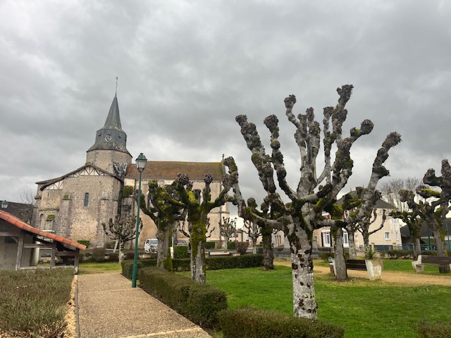
The village dates back to then also, as does the chapel of St Brais.
O Camiño dos Faros (Costa da Morte-Galicia) – Track oficial Agosto 2020


Leave a comment