
Day 55 – to San Lorenzo Pass (1347 m)
Yesterday I had driven up to Alto de Farrapona at 1708 metres to undertake the trek around the high lakes. But I was defeated by the wind. It is possible to stay overnight up there, but yesterday it wasn’t even possible to open the van doors.
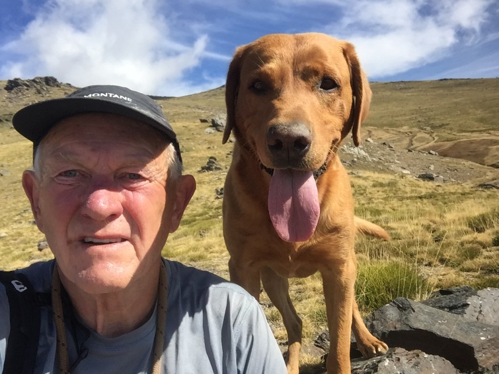
I returned, not to be thwarted, this morning. The wind had all but gone, though at the pass itself, it always blows. I arrived with the cloud still high, but as the morning proceeded it sank lower. Around the lakes there was no wind, and in and out of the cloud was very atmospheric. Being Saturday, there were a few people around, not many though, some with the usual comedic attire of city folk who rarely experience the mountains. I’ve said before, I hesitate to pass judgement, as the hills are everyone’s.. but that can’t stop me from being amused by 500 euro white trainers getting mucked up, cell phone signal giving out during a loud conversation on speaker phone with the induced expletives, and umbrellas..


It’s a much walked route, but at this time of year, and in these conditions, quite splendid.


It is possible to drive a rough road from Alto de Farrapona for about 15 kilometres to the village of Torrestio. It is actually part of the Trans-Cantabria MTB route. But at the moment it has some ‘obras’ (roadworks), and probably isn’t the best idea in a campervan. I drove around to the north and east for half an hour and settled for the afternoon of sport.


Finishing the day at the San Lorenzo Pass, at 1347 metres (below). It is a special place.

For one, it marks the border between two National Parks, Somiedo to the south, and Las Ubiñas-La Mesa to the north.
For two, because it lies on the Camino Real del Puerto de la Mesa, a long distance path that follow the old Roman road between. It is 60 kilometres in length and traverses the Cantabrian mountains between Asturias and Leon. It is usually walked in three stages. I did a few km on it tonight, heading south, and will head north on it tomorrow.
And for three, because it lies on the Trans-Cantabria MTB route, or BTT in Spanish. My route across the Cantabrians is inspired by this.
It is an incredibly difficult and little known long distance bike route with terminuses just west of Villafranca (where I was a few of weeks ago) and Irurtzun in Basque in the east. It’s just under 1,000 kilometres, and has climbing of more than 33,000 metres. It’s not yet on the Bikepacking website surprisingly. It would make for a phenomenal few days… maybe 10 for an expert, 20 for the likes of me.
Here’s a link to the map…https://www.wikiloc.com/mountain-biking-trails/transcantabrica-btt-completa-ambasmestas-irurtzun-15292247


Leave a comment