Papa Stour Island I
Monday 3rd July
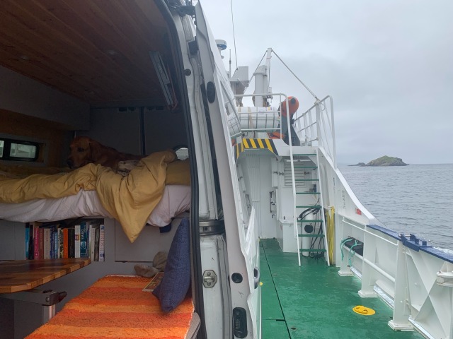
At 9 this morning I took the 40 minute ferry crossing to Papa Stour. There was just one other vehicle on the boat which can take six vehicles.
Like many of Shetland’s islands, Papa Stour shows signs of life dating back centuries. Missionary Celtic priests settled here in the 6th century, although the island was first populated around 3000BC.
Suspected leprosy sufferers from the Shetland Mainland were once banished to huts, the foundations of which you can see on Hilla Fielle. To survive, they relied on islanders to leave food for them by the hill dyke.
It was part of Norway until the 1500s.
At its peak, Papa’s population was around 380 in the 19th century, when a fishing station was opened at West Voe.
These days just 5 of the island’s 12 houses have permanent residents, the others are holiday rentals. Of the occupied 5, only 2 were at home this morning, and none of the rentals were occupied.
The island is popular with kayakers and divers (there are numerous shipwrecks close to the coastline). From the pier, the island has one road, of just over a mile.
It does however, have an excellent internet service, as it has been the ‘guinea-pig’ test case for remote settlements, with 5G over half the island, and fibre optic high speed broadband to all the properties.
On arrival, I received this message from my phone provider.. “Hi from EE. Welcome to Norway. While you’re here costs include..”
Something, I must admit, I hadn’t realised..

The ferry cross twice a day on Mondays, Wednesdays, Fridays, Saturdays and Sundays. I chatted with the crew on the way over, both had plans to build campervans and wanted to ask questions and take photographs of mine. They related some brief stories of rough seas, and we spoke about Norway, with Orkney in the news this morning, with the rumour of it changing its allegiance. The captain told me that Shetland were ahead of Orkney in the Norway queue. Shetland is 170 km from the Scottish mainland and 220 km from the Norwegian mainland. The piers I used, at West Burrafirth and on Papa Stour were both built with EU money. On the outlying Shetland islands from the Mainland, the project of rebuilding crumbling piers was only half way through on the UKs departure, and now is on hold.

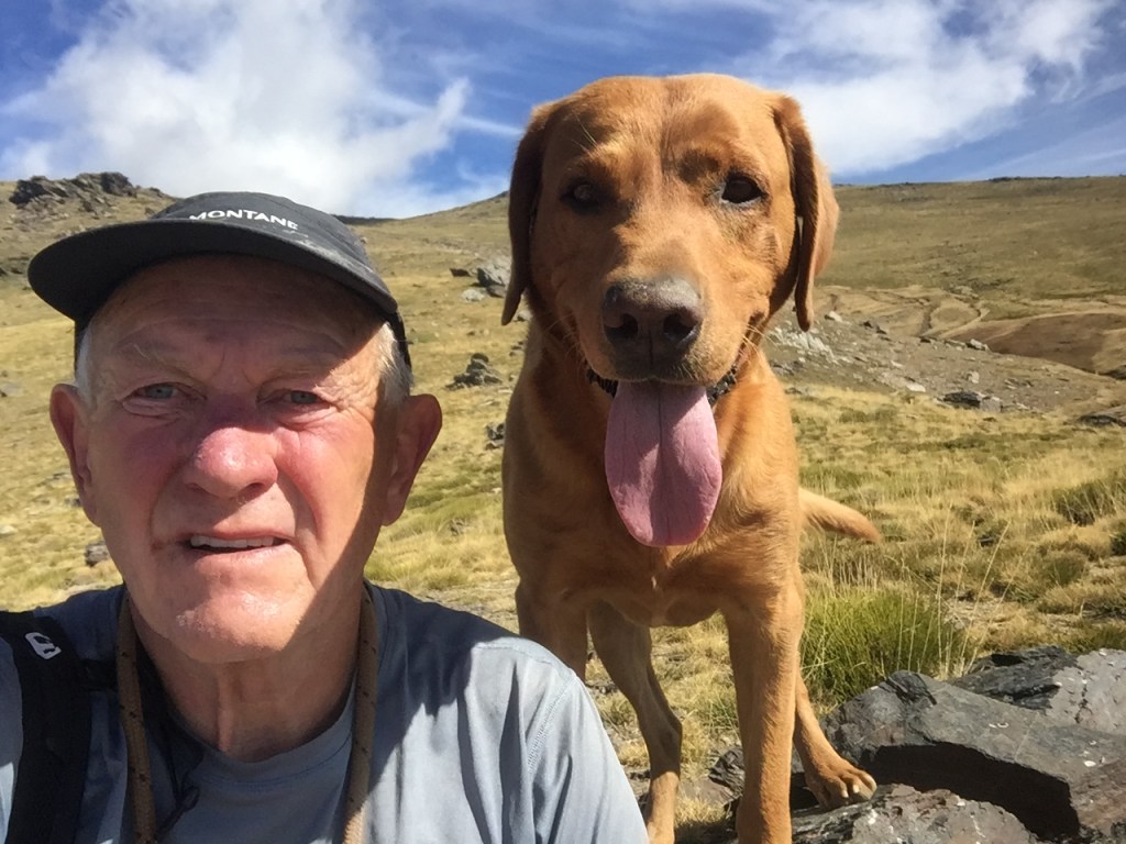
I’m breaking the 23 miles track around the perimeter of the island into 3 days, and today we took on the spectacular north east peninsula, about 7 miles. The weather has settled from the rain of Saturday, but is much cooler now at 11C, cloudy and with showers.


There are some good names to the various bits of headland. Willie’s Taing. The Creed. Robie’s Noust. Jerome Coutts’s Head.
I’ve written before about local names of places in the hills around where I used to live in the Lake District, and how a name is initially just used verbally by locals, often a nickname, and then over the course of many years, sneaks onto OS map.
It’s a legacy of a type, in Jerome Coutts’s case for sure.
Times change though, and these days I consider part of my legacy to be the many segments of routes that I give names to on the GPS tracking app, Strava. Mine are recognisable from in influences and interests, to anyone who knows me, Dylan lyrics, Python or Peter Cook quotes, favourite lines from books..


At Robie’s Noust we paused for a while to watch the grey seals in a calm bit of ocean. There were about six, diving, re-emerging and generally showing off and being curious.

And, a bit of video from the far northeast corner, and, on quite a calm day..
We were back at the van parked by the pier just as the ferry arrived for its afternoon collection. There were a couple of Austrian women, and a couple of bird-watchers who had come over on foot with me this morning. It had rained on and off during the morning, so they had limited their wanderings. Between ferry times, visitors have five hours, time enough to get to the rugged coasts on the far sides of the island.
A peaceful afternoon ensued, with a modicum of reading, a podcast, and a smidgeon of business.


Leave a comment