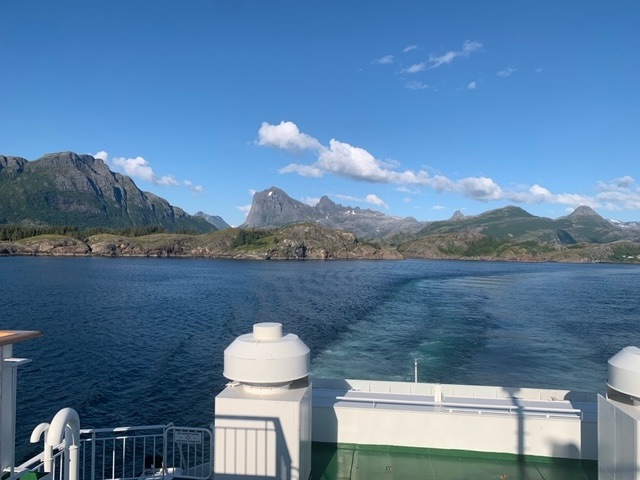
Yesterday was a three ferry day, the first being to return from Onøya and Lurøya to the mainland, a forty minute journey that returned us to Stokkvagen where we had left on Monday. From there it was a twenty kilometre drive through spectacular mountain scenery to Kilboghavn where there is an hour’s ferry crossing to Jektvik. Both the incoming and outgoing ships were full of motorhomes. It was a Friday, and with excellent weather, these were mainly Norwegians away for the weekend. I just hoped they weren’t headed where I was.
There was a two hour wait at Jektvik for the ferry that serves five islands of the Rødøy group. My plan was spend the next week on three of these.
Before we left Lurøya this morning we hiked an excellent trail that clambered over a couple of hills before descending to a wonderful little bay on the east coast of the island. It was two and a half hours out, which worked perfectly for the 1 pm ferry.

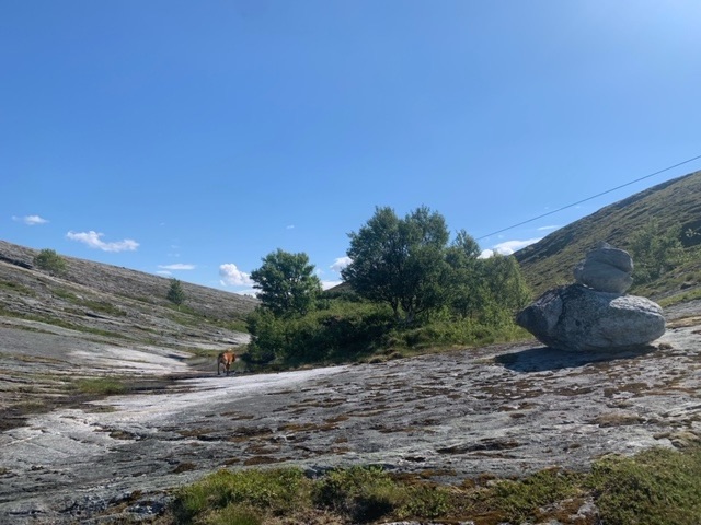
At Jektvik we also had time to get out for a wander, one that gained a hundred metres or so in height, and gave a great view of the harbour.

I got talking to three Polish guys who were returning to their home in Sweden after a few days fishing. Only the driver was sober, but they were amusing, making a fuss of Roja and showing me pictures of their own dogs.
Once on the boat to the islands I was the third stop. This ferry was much quieter, with just one motorhome on it. I spoke to a few people and they were generally visiting friends on the islands for the weekend, and mainly to the first stop, Rødøy itself, which has the largest population.
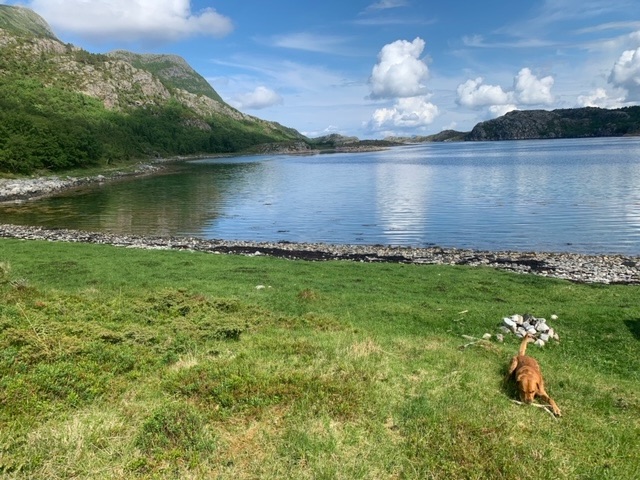
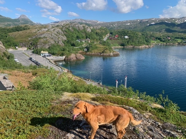
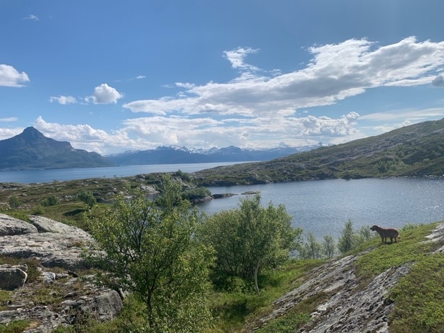
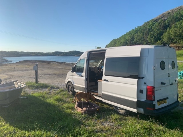
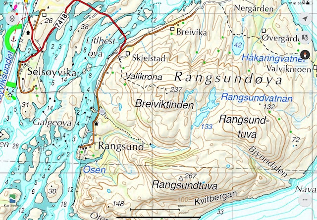
I got off at the small island of Selsøyvika, less than 2 square kilometres in area, but linked to Rangsundøya by a series of bridges. Between them, they have a permanent population of 47. Rangsundøya interested me more, as it has hills, and there looked to be more options for the van. It was after 8 pm now, and I had been watching Lancashire T20 cricket on the ferry, and was keen to settle with a beer to watch the second innings.
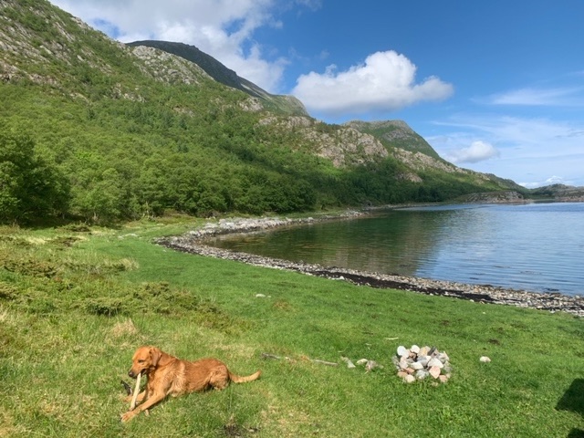
There’s only two kilometres of rough road, so there weren’t that many options, but I found a beach where I hoped I had parked above the level the tide would reach later in the evening.
The place is about 600 metres north of the Arctic Circle. The summer solstice is at 10:50 pm on Thursday, June 20, 2024, and where I am has midnight sun for two weeks either side of that date. This roughly corresponds with 24 hours of daylight also at this latitude. This will also be the case for the next six weeks or so, as I move further north.
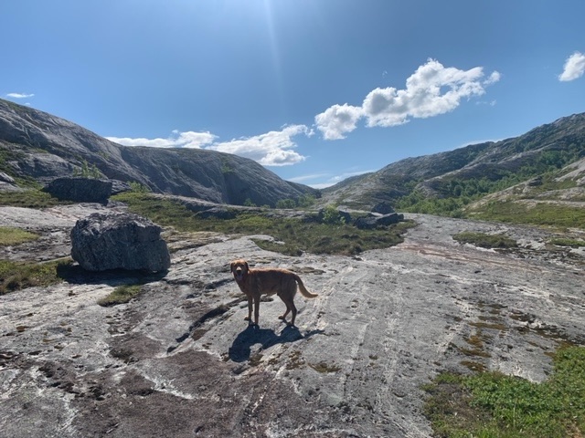
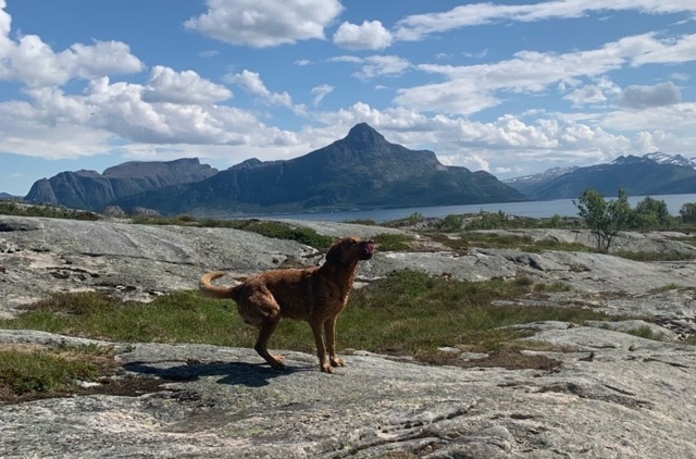
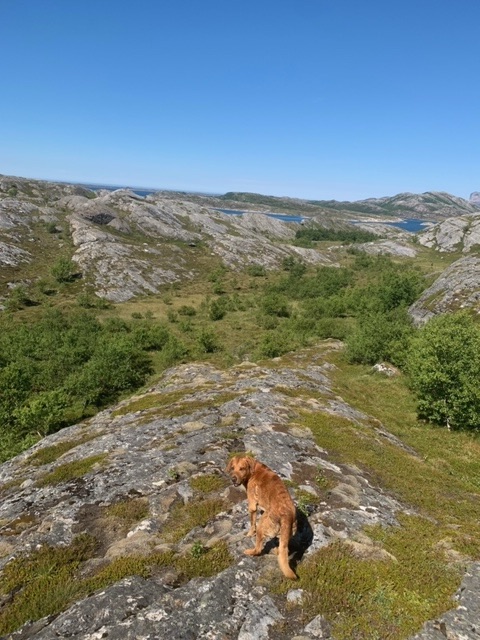
There are two hikes I have looked at here on Rangsundøya. I spoke with an old guy, the only person I have seen, who was mowing grass this morning, and he confirmed for me that both tracks exist.
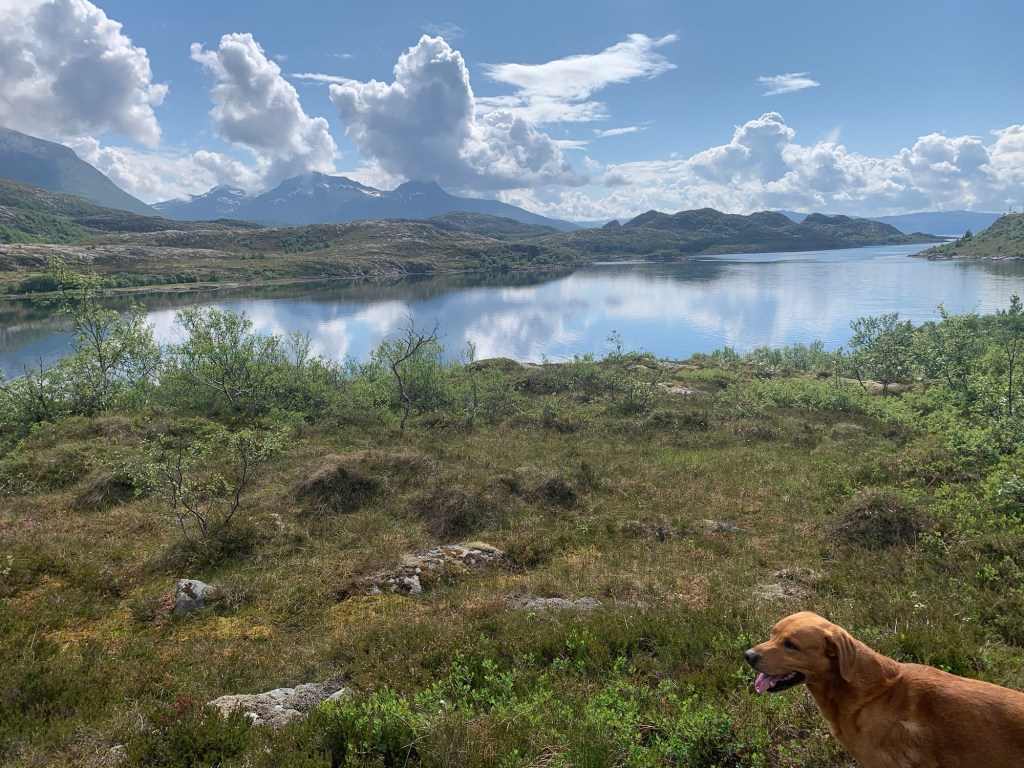
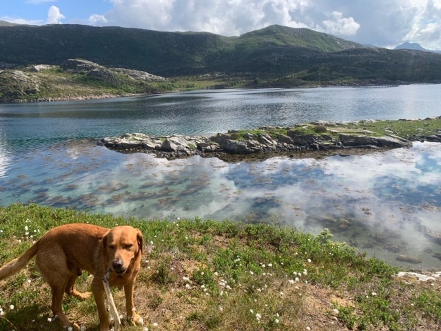
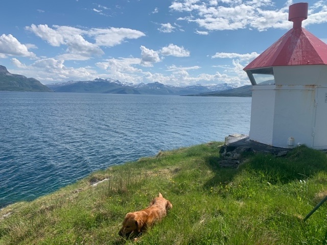
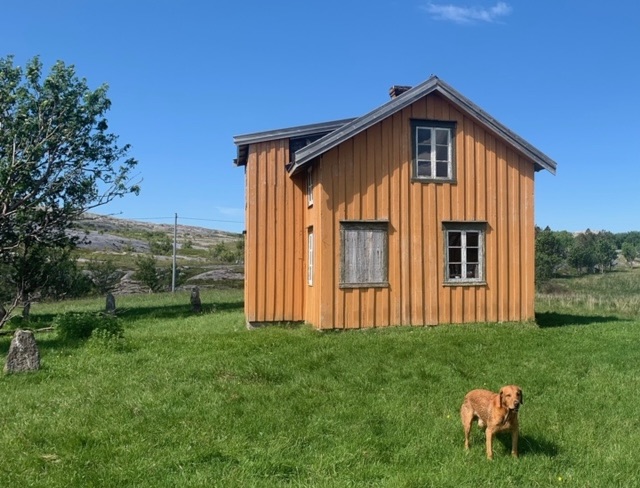
The path heads north around the coast, over a couple of hills, to a light beacon on the east coast. It passes a couple of old derelict houses that were once sheep farms, though there are still sheep on the island. It was indeed rewarding. I lost the track for a while, intentionally, as it was easier to walk on the rock than the boggy heather. I was taken by surprise to find bank card on the ground, bright red, and it looked new, not expiring until 2025.
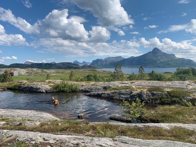
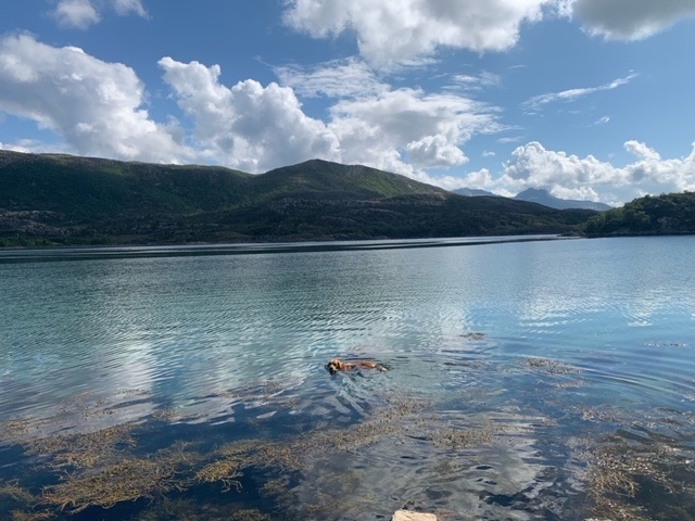
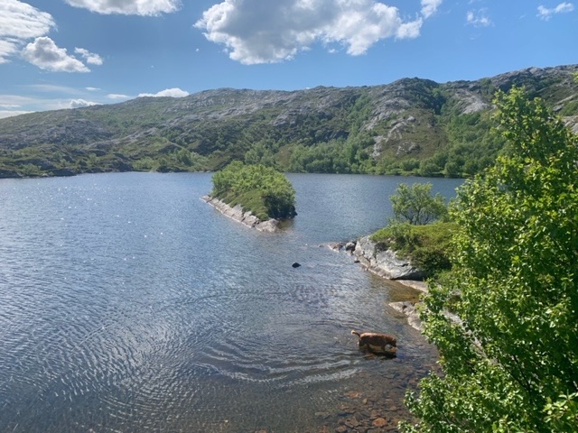
I met no one, except at the lake between hills on our return, where there was a couple swimming with their young daughter. We spoke for a while, as they were residents here, and they helped me with a route for tomorrow. The guy was a Liverpool football supporter also, and made annual trips to watch games there. I asked them about the bank card, and they knew the person, saying that she was up on the mountain right now. They will return the card to her, but she has been incredibly lucky that in such a wilderness someone found the card, off track as well.
We were back at the van on the beach for lunch, then settled for my usual Saturday afternoon of sport, the Premiership Rugby Final, and the England Australia T20 World Cup tie.


Leave a comment