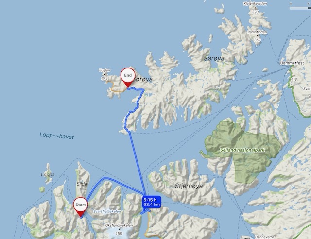
It was a morning of two fairly long (free) ferry journeys, but only ten kilometres of driving, to get to my next destination.
After an excellent night on the northern tip of the Tverrfjord peninsula on Tuesday I drove south to the biggest town on the peninsula, Sør Tverrfjord. Less than ten people stay for the winter months these days, twenty years ago that number was almost a thousand. The school closed in 2008, and with it went the last families, over the fjord to Øksfjord, selling their homes for upgrade and renovation as second homes to folk from Tromso, and the cities further south. At this time, the summer school holidays, the place is busy, with Norwegian, and a few Finnish, families. Perhaps how it used to be, but from the middle of August it will become something of a ghost town again.
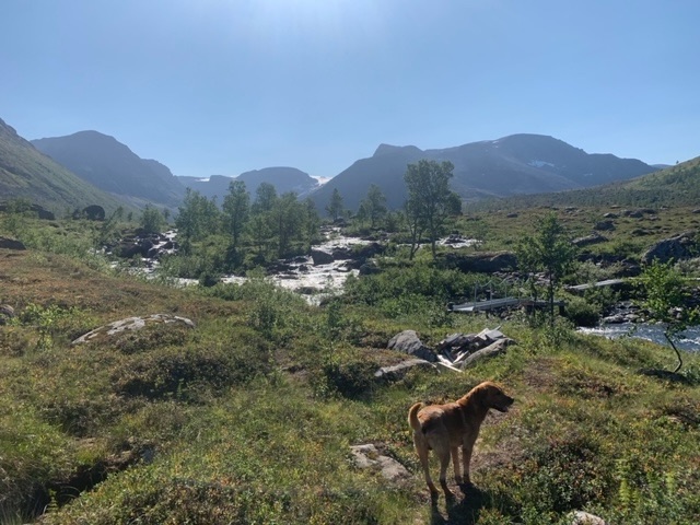
The area offers so much to a person with an inclination towards the outdoors, some of the best sea fishing in the world, excellent fresh water fishing also, as well as plenty of outdoor activities, water based, snow based, and on the mountain.
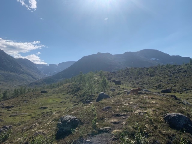
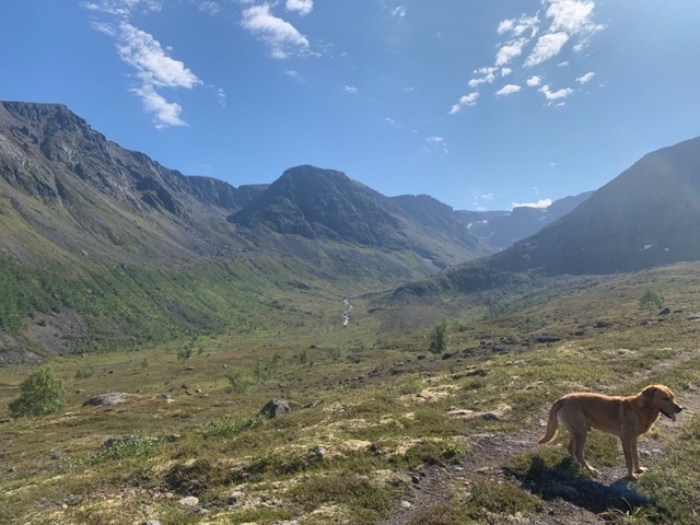
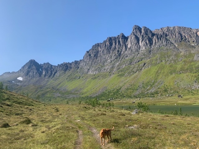
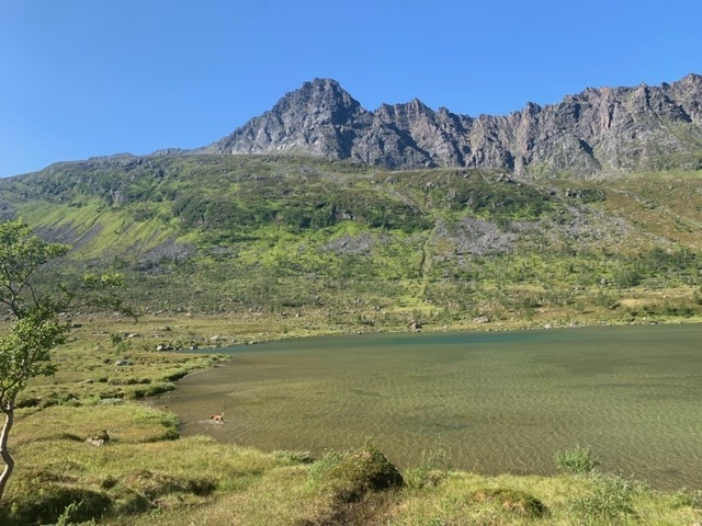
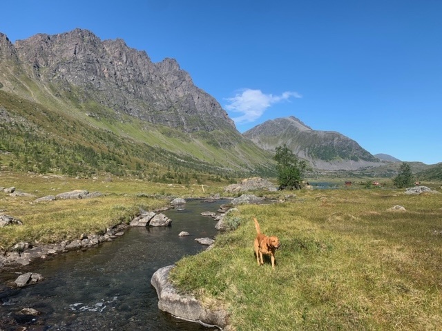
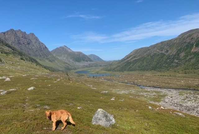
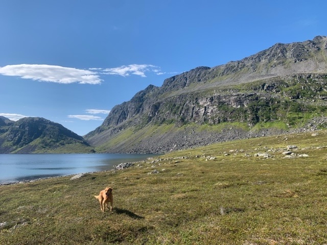
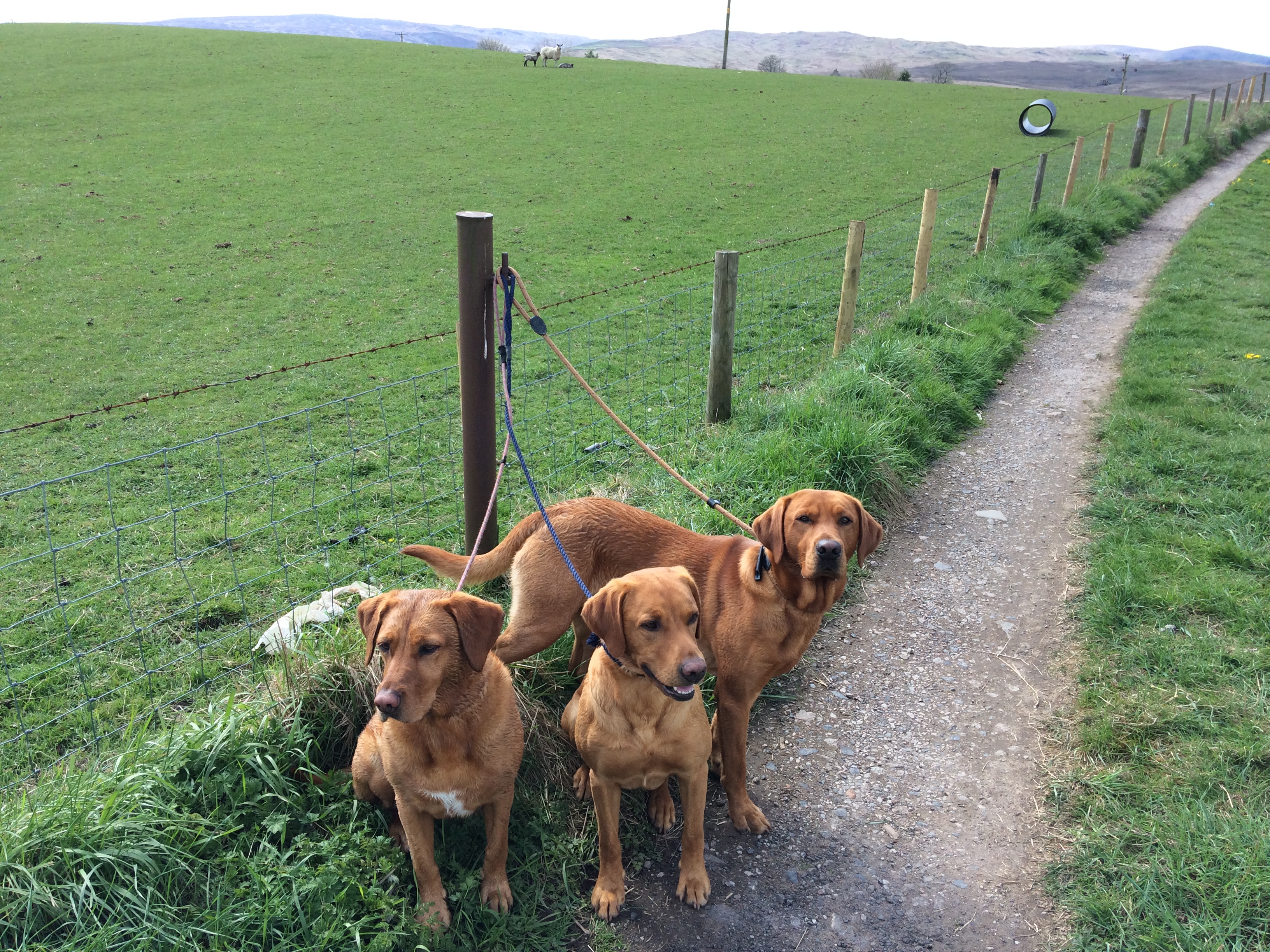
From the town a wonderful track weaves its way up the valley past six lakes. The first two, more easily accessible, are most popular for fly fishing. At the second lake there are a few cabins, used by fishermen and hunters. I spoke for 15 minutes to a grandmother, teaching her grandchildren, aged 7 and 9, to fly fish, while they stayed for a week in her cabin. She insisted on making me a cup of tea.
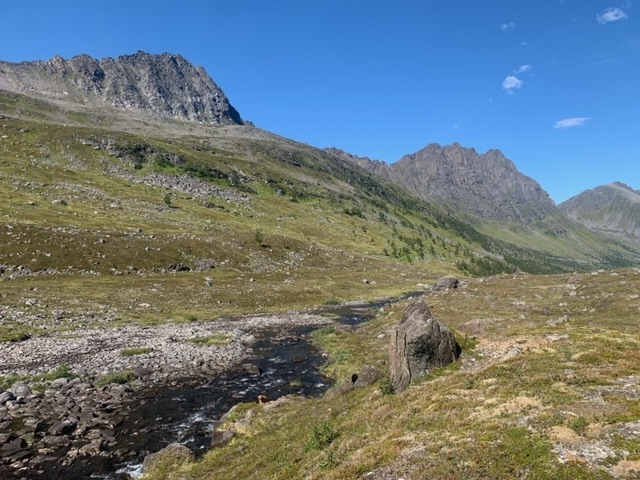
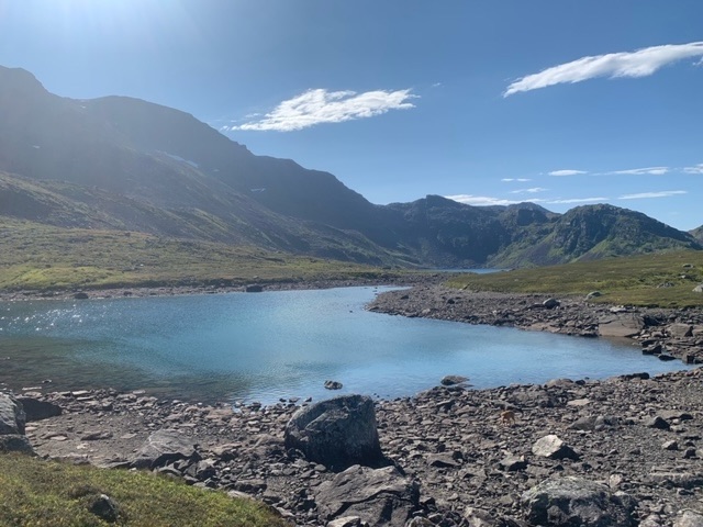
The path gains height after that lake, and is much less defined, though that doesn’t matter, as it’s pretty much possible to walk anywhere. The sixth lake is t most picturesque, situated at 280 metres above sea level and surrounded by spectacular peaks. The out and return is about 12 kilometres, but it would be possible to extend this and take in a peak or two, or even more lakes.
The ferry this morning left Sør Tverrfjord at 6:45 am and is the only ferry of the day. I stayed on the harbour, chatting with a few people fishing for their supper, and a few parents letting their kids swim at the end of a warm day.
It was a question of just stumbling out of bed to behind the steering wheel this morning, driving fifty metres, then returning to bed, to doze and listen to the radio.
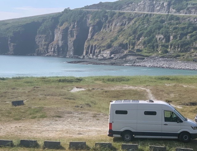
Back at Øksfjord two hours later I rejoined the ferry queue, made breakfast for Roja and myself, then boarded the 9:40 am ferry to Hasvik, on the island of Sørøya. That took 90 minutes, and then a necessary supermarket stock up, including the most expensive dog food I’ve ever bought. Sørøya is Norway’s fourth largest island in terms of area, at just over 800 square kilometres. It is rocky and mountainous, no surprise, with a jagged coastline and numerous fjords. Most settlements are on the southwestern coast around Hasvik. The northern part of the island has communities also, but they are reachable only from Hammerfest. The roads do not connect. It has a permanent population of just over 1,000, though since 2008, no secondary school, so older children either board weekly on the mainland, or their families have relocated there.
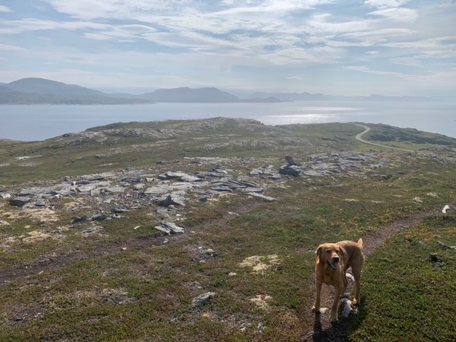
It’s the sort of place I hoped it would be, off the beaten track and yet magnificent in its splendour. It’s too much effort for most international visitors to get here, just the odd one. There are a few holidaying Norwegians around.
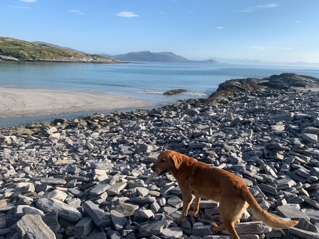
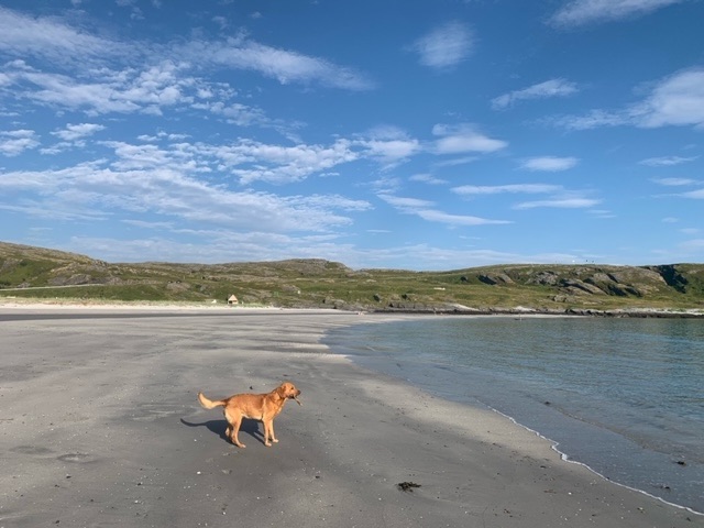
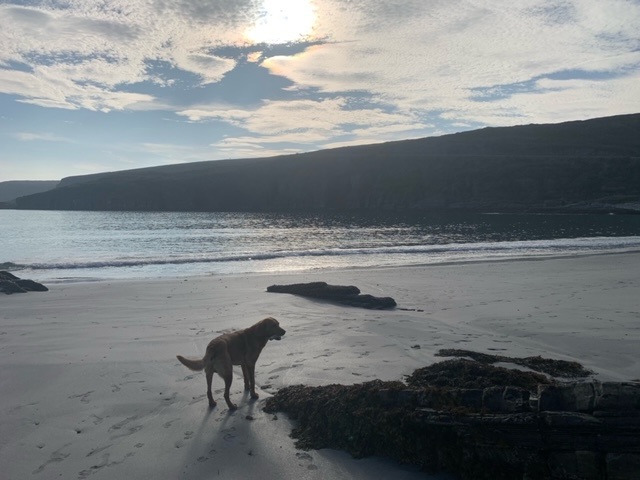
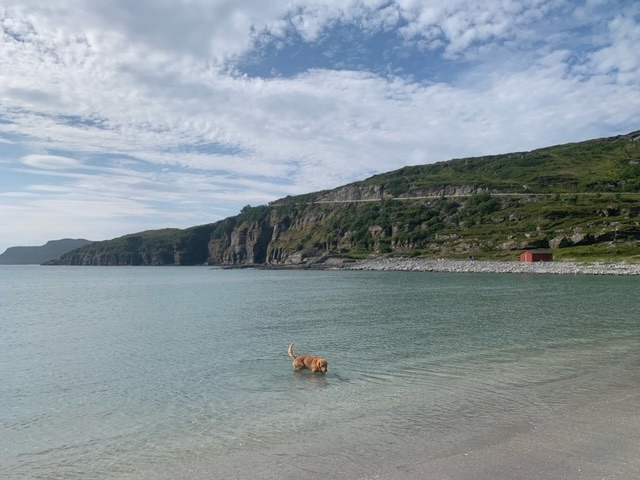
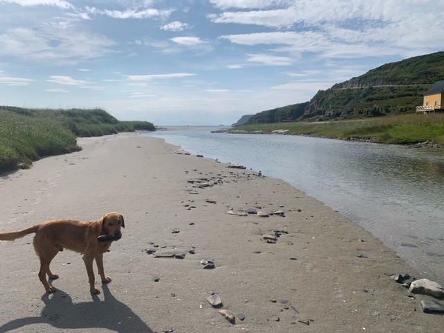
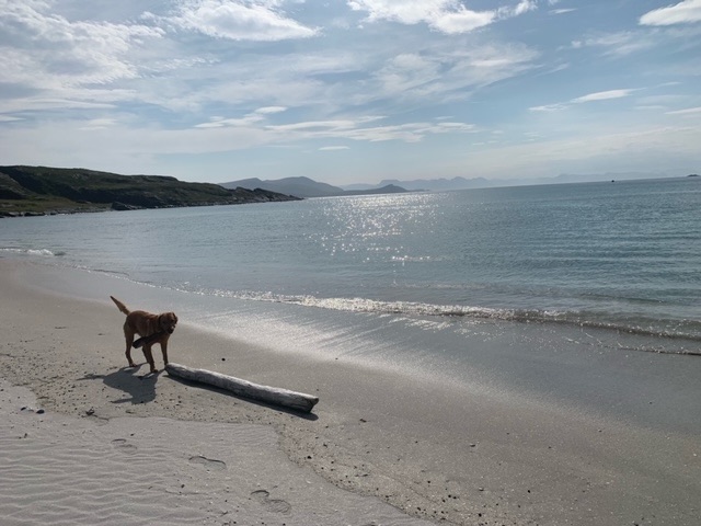
I’ve found a beach on the west coast, with a parking area off the road, though the road is very quiet. There’s some hiking here which I will investigate tomorrow, but there’s was enough to explore today on foot with the beach and its surrounds.


Leave a comment