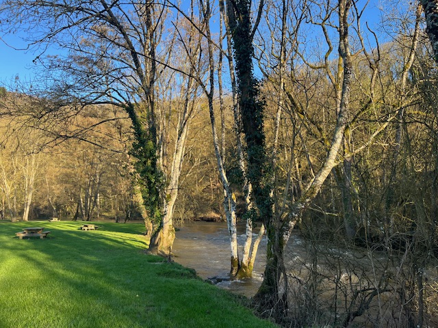
Sea fog hugs the coast on still days this far north. That was the case last time the weather was in a settled spell, when I was on Senja a couple of weeks ago.
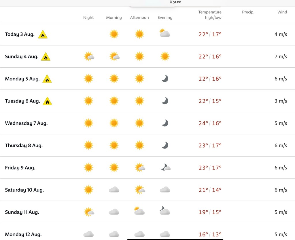
The weather has entered another settled spell now, and the beach I was on attracted the haar. It can linger all day; it seems like it will clear, and does so for 15 minutes perhaps, then drifts in again.

I decided to get to higher ground. Besides, should the mist clear, it is a weekend, and the beach will be busier.

Before leaving, I took the trail I planned to the day before, though visibility was not much more than twenty metres. It was still good exercise.
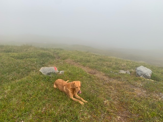
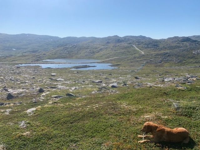
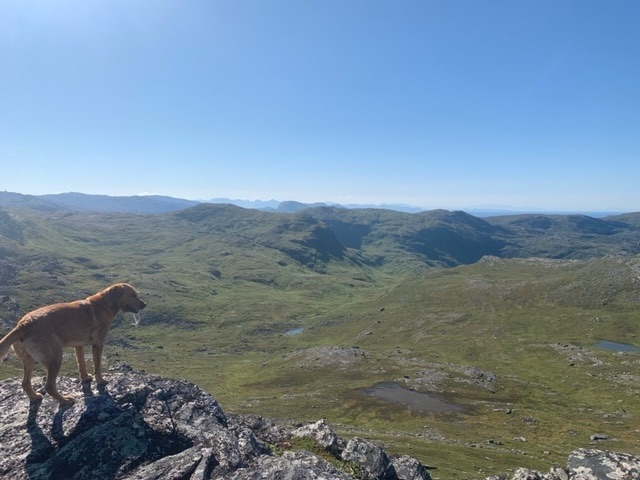
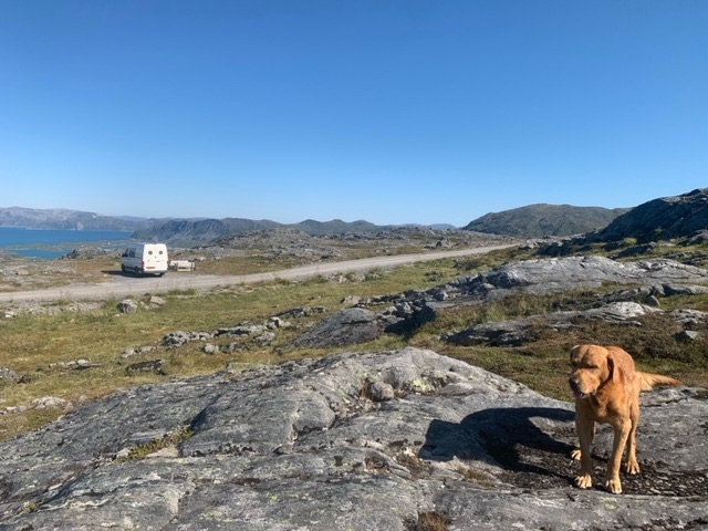
Though Sørøya is 800 square kilometres in size, it only has 30 kilometres of road on the southwest side. There are another 10 kilometres in the northwest, reachable only by passenger ferry from Hammerfest. There is a dirt track though, that runs from the west coast to Dønnesfjord, a couple of peninsulas over in the north. This is a spectacular road that climbs to a pass 300 metres. I headed there, and found an excellent place to put the van, looking down to the east. Much of the time it would be too windy here, but in these conditions it is perfect. From here there are some excellent hiking opportunities. It is a typical Arctic landscape once up above 250 metres, rocky, scattered with tarns, and dips and rises, but little above 400 metres, and all hikeable.
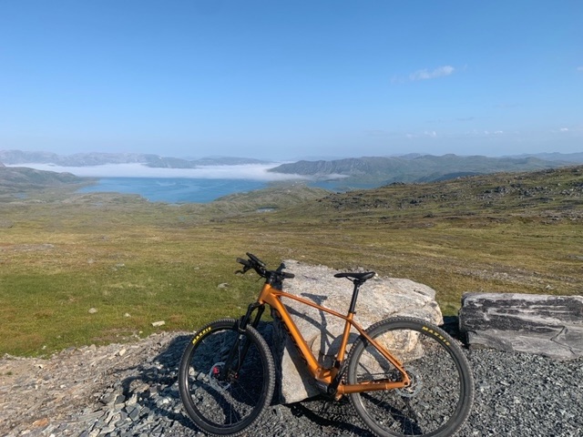
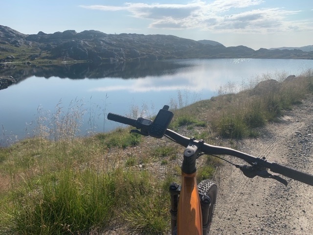
I got the bike out in the afternoon and headed onto the wind turbine gravel road which took about an hour to ride and was invigorating. It’s been a while since I’ve been on the bike, much of the territory I have been in encouraged walking more. It seems the improvement in the flexibility of my new hip has improved, as I can mount and dismount much more easily.
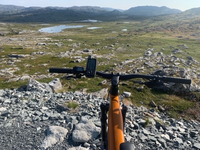
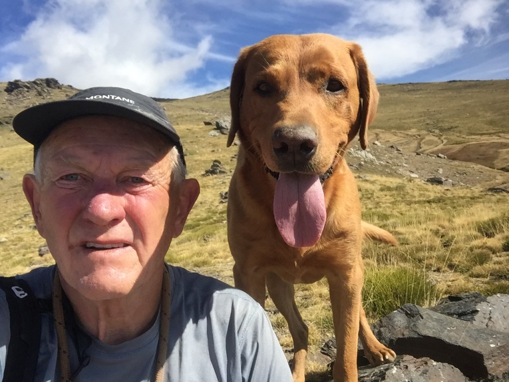
This morning I had tentatively put together a hiking route, but once out, and having gained a bit of height, was able to expand on it.

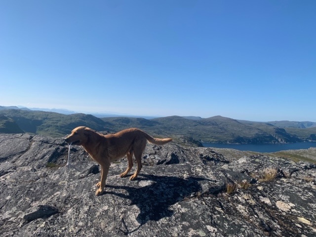
This is a sensational place to be, with such a fine panoramic view, and the knowledge that there are so few people, in fact none, anywhere near.

My route was a circuit of high points, or dumplings as they are known in Cumbria, ranging from 320 metres to 350 metres, and tarns; trying the find ridges between the dumplings, and bogless passages elsewhere. Generally speaking, I was successful.
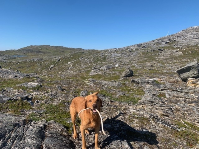
I had planned to hike to the south of where I am tomorrow, the opposite to this morning, but had a fortunate meeting with a guy and his daughter being dropped off by car later this afternoon. Roja and I were taking an evening sojourn when a young black labrador ran up to us. This is very rare here, as for the summer months, dogs are required by law to be on leads, due to the bird population. These days Roja stays close to me, and doesn’t tear around like he used to, so unleashed, he is no problem. Besides, many Norwegians get round the law by having thirty metre leashes.

I soon found the father and daughter, the owners of the black lab, and we chatted, and he showed me the route he had planned, to a hut a couple of hours away where they would spend the night. I will work on something like this for tomorrow.


Leave a comment