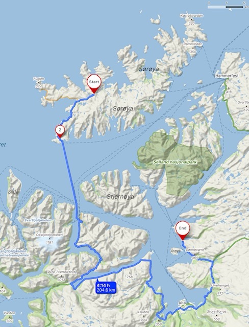
The ferry returning from Hasvik on Sørøya to the mainland takes 90 minutes, and was running an hour late. It was the first ferry I’ve taken so far on this course that couldn’t accept all the waiting traffic, and some had to wait for the late afternoon crossing. There were several trucks, as well as five vehicles towing long caravans. It was a good job I was there early. We had broken camp just after 8, and took an hour out along the Hasvik coast and beach.
I drove through the town of Alta, which is considered the northernmost city in the world, with a population greater than 10,000. I stayed here for a couple of nights in September two years ago, parked up at the marina, which is a new development of smart apartments and cafes. It was ideal then, in rainy conditions and a maximum of about 10C, but currently the fine weather continues, mid twenties and clear skies today. I used the Rema 1000 supermarket and headed north for 100 kilometres.
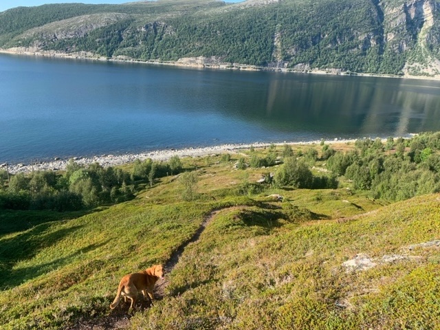
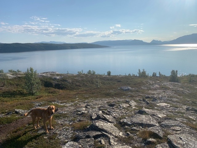
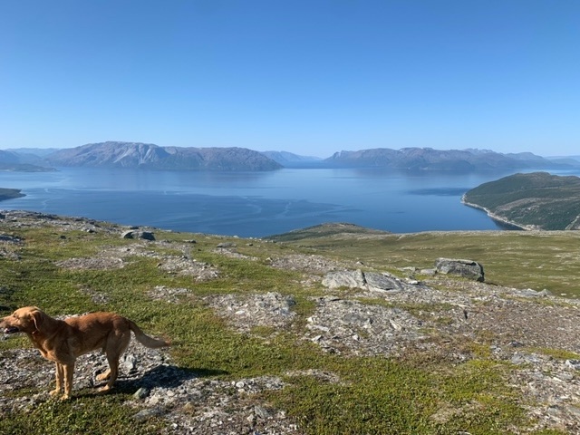
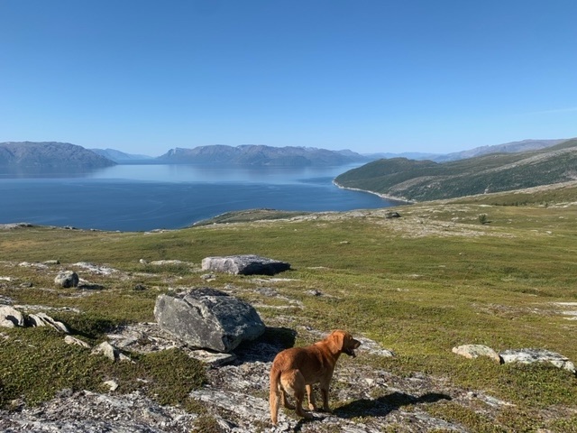
This meant rejoining the E6, but I left it again and headed out to Lerresfjord, a tributary of Altafjord. I headed for a hike I wanted to do and from various maps had hoped for two places I could park up, an old ferry dock, or a rocky knoll close to where the track began. Without actually being there it wasn’t possible to see whether the ground at the latter place would safely take the van, but it was fine, in fact excellent, with a great view across the fjord.
There was another self-build van there, a Polish couple about my age, and we got on well. They had a fat sheepdog that Roja got on well with, and we did what many self-built van owners do, looked at each others insides. There were tracks down to the sea also, some quite steep, but it gave us some evening entertainment before the cricket began. The well fed Polish sheepdog didn’t move more than a metre.


Having told the Polish couple the hike I wanted to do, the guy set out about half an hour before me to do it this morning. His wife has a bad knee, so she stayed with their dog.

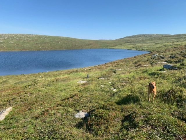
It was an uninspiring ascent, following the track of a quad bike, probably from hunters, for a few kilometres before it faded out. From there I headed to a lake, skirting round the peak I was aiming for, but to get some water and a cool down for Roja. It is a lot warmer today, up to 27C in the middle of the day.
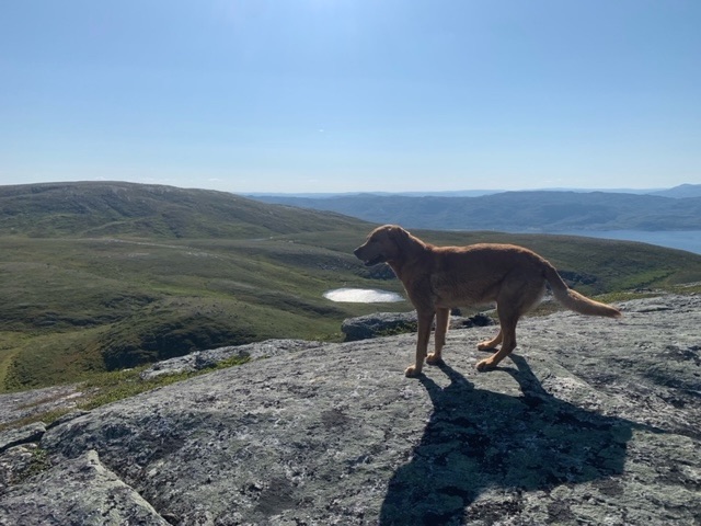
From the lake I headed up to a ridge of the mountain, Bielločohkka, where I could see several reindeer, but only because they were silhouetted on the ridge against the sky.

I’ve come to realise that though you don’t see any reindeer when, on such ground as today, you take a look around, they are almost certainly there, and they are watching you. Occasionally Roja will stare into a space and see something, or sense something, that I do not. I always recall the French wildlife photographer, Vincent Munier, who returned from two months in Eastern Tibet unsuccessful in seeing and attempting to photograph the snow leopard. A few weeks later, in his office he was looking back through the photographs he did take, and on one did a double take, spotting a snow leopard, that had always been there, watching him, though at the time he had not seen it. The story of that search, and his subsequent one, is beautifully filmed in The Velvet Queen.
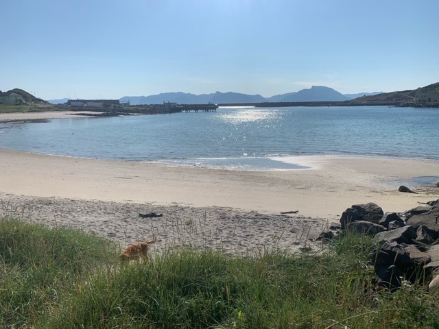
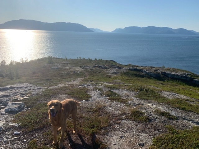
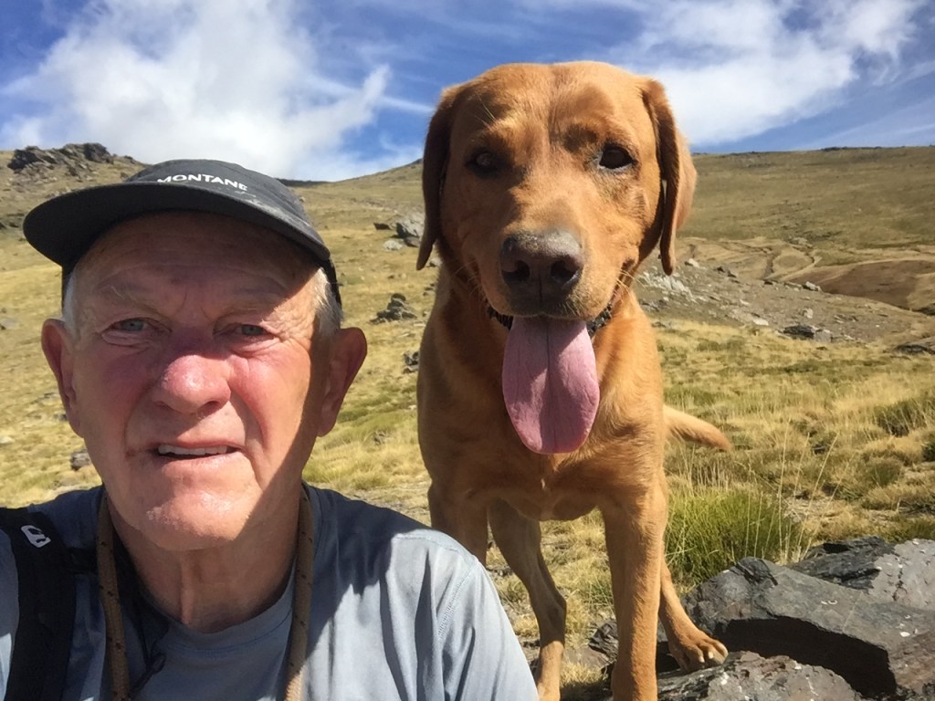
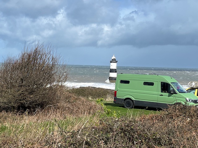
Sørøya, where we were last week
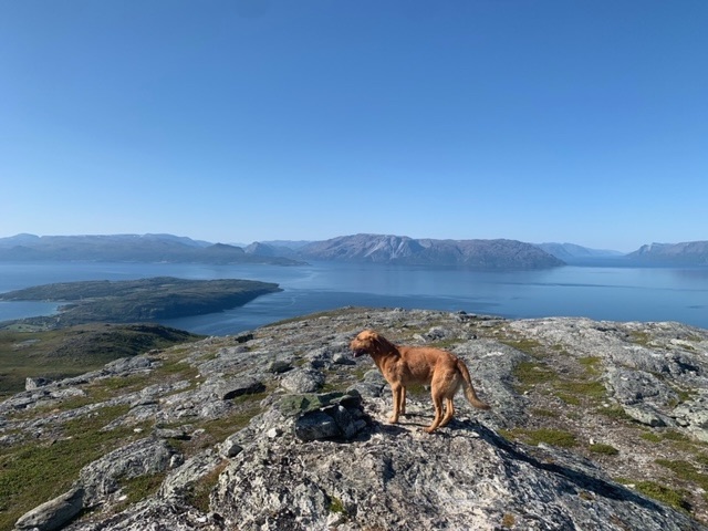
The reindeer soon left the ridge, and in their place I spotted the Polish guy. He saw me, and I soon caught him. He had left a half hour ahead of me, and I had deviated to the lake, he must have been very slow, because I am not quick. On speaking to him he had been unsure of the way, walking as he was, without a map or any backpack. I use three different maps when I’m out in Norway, my OSM map on the GPS, Mapy from my phone, and the Norwegian app, Hvor. The latter is by far the most reliable. In most countries the first two are fine, but much less accurate and detailed here in Norway. Also Hvor is an offline resource also. We got to the summit together, then he returned the way he had ascended.
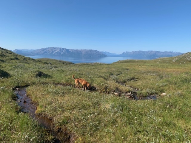
Though the first few kilometres of the ascent was less rewarding than recent hikes, above 400 metres it was a different experience completely. The ground levelled out, the views were excellent, and there was a pleasant cooling breeze. After the summit, at 546 metres, I headed down into a valley on the opposite side of our ascent, to get some water for Roja from a stream I could see.
We were out for about 4 hours in total, and hadn’t quite realised how warm it had got. The last few days have been three or four degrees lower. Also, there was less water around. It is much drier here, and Roja was clearly tired, though of course, he won’t indicate so.

We both took to the shade for the rest of the afternoon, indulging only in a short wander down one of the tracks to the sea in the early afternoon.


Leave a reply to jnhrrsn Cancel reply